
Global land ecosystems encompass the mountains, plains, forests, savannahs and deserts that provide a home for much of the world’s biodiversity and supply humankind with oxygen, food and water. Land plays a central role in human, economic and climate systems, acting as both a source of and sink for greenhouse gases (GHGs), while at the same time regulating energy, water and atmospheric exchanges. Soils and forests are particularly important carbon sinks, and during the past decade land-based ecosystems have absorbed roughly 30 percent of anthropogenic carbon emissions (
The Earth is not a pristine system. Human use directly influences about 70 percent of the global, ice-free land surface (
Climate change is causing many land systems to become warmer and drier, intensifying existing degradation processes, particularly in vulnerable dryland and coastal regions. Since 1961, the area of dryland experiencing drought has expanded by around 1 percent a year. Combined with pressures from urbanization, deforestation and agricultural expansion, this is accelerating ecosystem degradation and undermining resilience. Approximately a quarter of global land is already degraded, while soil erosion rates are estimated to be from 10 to more than 100 times faster than soil is able to form naturally (
Land systems are also becoming increasingly constrained through the competing demands of food, carbon storage, energy and development (
2.1 Heat, drought and disturbance
Climate change is reshaping land systems through raising temperatures, shifting rainfall patterns and increasing the frequency of disturbances such as drought and wildfire. Figure 2.1 shows the observed temperature change relative to 1951–1980, illustrating that land surface temperatures have risen substantially faster than the global average over time. While both trends have increased steadily since the mid-20th century, warming over land reached nearly 2°C by 2018, compared to just over 1°C for the global land–ocean average (

Across land systems, climate change is intensifying the interaction between heat stress, drought, wildfire, wind, insects and pathogens, thereby reinforcing disturbance feedbacks and increasing the likelihood of ecosystem shifts (
Drought does more than just reduce soil hydration. Studies indicate that the primary response is lower net primary production and forest stand water use, with mature trees becoming more vulnerable to insects and disease during severe or prolonged drought (
Although tropical forest loss remains driven primarily by land-use pressures, climate change is increasingly influencing its dynamics. The Earth loses 18 football pitches of primary tropical rainforest every minute (
Because climate change is altering disturbance regimes, historical restoration models sometimes fail to function reliably in certain contexts
More significantly, 2025 marked a turning point, with fires accounting for 42 percent of the 25.5 million hectares of global forest loss (

From planting trees to designing adaptive forest restoration systems
Intensifying disturbances are exposing the limitations of conventional restoration approaches and increasing the demand for more adaptive restoration systems. Forest restoration has gained strong momentum, especially under the UN Decade on Ecosystem Restoration. This United Nations (UN) initiative, operating from 2021 to 2030, is a global effort to prevent, halt and reverse ecosystem degradation. It aims to restore ecosystems to combat climate change, enhance biodiversity and secure livelihoods. It also emphasizes the need to expand capacity building and strengthen knowledge exchange among indigenous, traditional, local and scientific communities to better define and share ecosystem restoration best practice (
Because climate change is altering disturbance regimes, historical restoration models sometimes fail to function reliably in certain contexts. Moreover, forest resilience varies according to its structure, age and management, which influences drought resistance and recovery capacity. Reforestation practices that mimic forestry plantings (dense, evenly spaced planting) are increasingly poorly suited to future conditions, especially with more drought and fire, as they are liable to increase vulnerability by creating forests that are too dense and uniform, and therefore prone to mortality under stress (
Overall, restoration needs to work with natural processes to cultivate diverse climate-resilient forests
Researchers have identified several traps that previous forest restoration efforts have fallen into, namely: overly dense planting that creates greater competition for water; uniform spacing that enables wider fire spread and greater severity; an over reliance on planting instead of natural regeneration; and inadequate follow-up management through methods like thinning (
Most tree-planting fails when it prioritizes scale over suitability and numbers over outcome. The following are the main pitfalls that organizations fall into when launching a tree planting campaign.
Picking either the wrong species or wrong location, or bad seed quality.
Treating planting as the goal rather than the restoration outcome. A focus on the number of trees rather than ecosystem recovery may negate enhanced biodiversity, soil health and climate benefits.
Neglecting to match local community needs with the project. This leads to low participation and inadequate long-term maintenance. Strive to design the approach together with the community (
Unintended effects. Planting on agricultural land may push farming elsewhere, leading to more deforestation. Large-scale monocultures can strain water resources.
Thinking too short-term. Being too short-term means funding and attention stop after planting has been done. If there is no longer term care, governance or incentives, trees may not survive.
Using a top-down approach. When external organizations design projects without local ownership, local knowledge may not be incorporated, ultimately creating less accountability.
Poor area targeting. If efforts are spread too thinly or channeled into the wrong places, there will be no restoration benefit.
Treating naturally open ecosystems as though they are “degraded forests". Large-scale afforestation in naturally open ecosystems, such as savannas, grasslands, shrublands, alpine systems or drylands, can reduce biodiversity, alter fire regimes, disrupt hydrology and threaten species adapted to open habitats, for example, some bird species. Recent research (
It is important to remember that trees are a means, but not the end goal. Letting ecosystems recover through natural regeneration (with support) can be better than mass planting. Local engagement and leadership are critical: projects work better when communities participate in the design, reap real benefits and exercise decision-making power. Importantly, restoration must reckon with trade-offs, as different ecosystem areas and objectives do not always align. Therefore, one-size-fits-all planting is not an appropriate strategy. Finally, finance and incentives are important in sustaining benefits.
Source: (
Choosing the appropriate restoration methods for diverse environments and social contexts remains difficult. One key challenge is balancing ecological impact with economic constraints. Despite ambitious global forest landscape restoration targets, there is an annual funding gap of more than USD300 billion in what is required to achieve them (
Highly degraded land often requires active interventions like tree planting that are more expensive than natural regeneration. Moreover, natural regeneration itself does not currently have a broad financial model, as it is difficult to finance with carbon markets. One recent study conducted a large-scale review of thousands of studies on forest restoration to identify innovative approaches that meet both ecological and economic demands (

Launched by the African Union in 2007, the original plan for the Great Green Wall was to plant a continuous 15 km wide, 8,000 km long band of trees stretching across 11 countries from Senegal to Djibouti to halt the southward expansion of the Sahara Desert (
Similar lessons have emerged from China’s Three-North Shelterbelt Program, often referred to as China's “Great Green Wall.” Launched in 1978 and running until 2050, the Three-North Shelterbelt Program spans 40 percent of China, creating a vast patchwork of forests designed to shield towns, farms and transport links from the advancing Gobi and Taklamakan deserts. It has several faced challenges, including drought-related tree mortality and vulnerable monoculture plantations. In response, China has shifted toward a more targeted restoration approach that combines drought-tolerant vegetation with long-term financing, renewable energy infrastructure and advanced monitoring technologies, raising regional forest coverage from 5 percent to nearly 14 percent by 2026 (
Africa’s Great Green Wall and China's Three-North Shelterbelt Program illustrate a broader shift in restoration practice away from planting trees toward restoring landscapes.. Experience suggests that successful restoration depends on matching interventions to local ecological conditions, as well as community participation, sustained financing and the monitoring of outcomes over time.
Low-tech restoration and solar-powered resilience: a high-impact combination
Across Africa, climate change and land degradation are increasingly reinforcing one another. Unsustainable land use, deforestation and soil erosion have degraded millions of hectares of land, while rising temperatures, shifting rainfall patterns and more frequent droughts and floods are intensifying water stress and reducing agricultural productivity. Today, an estimated 65 percent of Africa’s land mass is affected by degradation and drought, impacting more than 400 million people and generating economic losses of over USD 70 billion annually (
African countries are increasingly combining ecosystem restoration with climate adaptation using both low-tech and emerging land management tools. Ethiopia is employing large-scale soil and water conservation techniques such as terraces, trenches, gabions, rainwater harvesting basins, tree planting, composting, the planting of drought resistant crops, and community-led rehabilitation. Senegal is focused on agroforestry and assisted natural regeneration, employing drought-resistant native species, sustainable grazing management, and ecological perimeters to restore degraded drylands and strengthen food security. Rwanda is combining ecosystem restoration with infrastructure upgrades (see Innovation examples). In these three countries, restoration is tied to community governance, climate-smart agriculture and women-led local management systems rather than relying solely on high-tech interventions (
Across African dryland agricultural and agroforestry regions, solar irrigation pumps are becoming increasingly crucial. This is because they improve water access, while reducing dependence on expensive diesel pumps and unreliable rainfall. In drought-prone areas, these pumps help stabilize crop production and support tree establishment in agroforestry and restoration projects. When combined with efficient irrigation methods, such as a drip system, solar irrigation can improve water-use efficiency, reduce pressure on degraded land and enable year-round cultivation and livelihood diversification for smallholder farmers. Within a restoration context, these systems are increasingly viewed not simply as agricultural technologies, but also as tools for landscape resilience in water-stressed regions.
See the Green Technology Book Energy edition and EXPO Special edition for more information on solar-powered irrigation systems.
Fire: shaped by ecology, shaping ecology
Fuel reduction and fire treatments, such as thinning, and prescribed fire and fuel breaks, are core fire management strategies. The effectiveness of most landscape-scale fuel treatment scenarios is dependent on method, timing and the treatment location (
Repeated wildfires significantly increase global soil erosion. The effect of such fires can be the removal of the organic matter and vegetation required to stabilize the soil, making landscapes more vulnerable to erosion, sediment transport and landslides, especially during periods of heavy rainfall following a fire event. Post-fire erosion now accounts for about 19 percent of total global soil erosion, adding an estimated 5.1 billion tonnes of soil loss each year compared to before the fires had occurred (
However, fire effects depend on ecosystem type and fire intensity; some ecosystems are naturally fire-adapted, and low- to moderate-intensity fires can even support regeneration and nutrient cycling, as well as habitat diversity. Recognizing that fire can be both a disturbance and a natural ecological process, fire management under a more severe fire regime and harsher climate generally relies on two complementary approaches: mitigation strategies that reduce fire impacts and adaptation strategies that improve the capacity of an ecosystem to cope with a changing fire regime. Adaptation strategies focus on vegetation management to reduce fire hazards and increase ecosystem resilience. Restoration techniques include resprouting woody species and increasing the diversity of species in post-fire afforestation/reforestation projects (
The normalized burn ratio (NBR) is a remote sensing index used to assess fire impacts and vegetation recovery using satellite imagery, and remains a standard method for mapping burn severity, especially using Landsat data. It underpins many national-scale monitoring systems, because it provides a consistent record dating back to the 1980s and is well calibrated against field observations. Satellite-derived NBR products are widely used to support burned area emergency response (BAER) efforts. BAER focuses on employing rapid, post-fire assessments to identify immediate risks such as erosion, flooding and threats to either infrastructure or ecosystems. Satellite-derived products such as NBR provide initial burn severity estimates that help prioritize field assessments and inform soil burn severity maps and response plans.
The Monitoring Trends in Burn Severity (MTBS) project is a US government program run jointly by the US Geological Survey and the US Forest service. It provides consistent, long-term national datasets dating back to 1984 that can be used to analyze fire trends and support large-scale land management. BAER relies on quickly generated maps refined with field data to guide emergency stabilization actions, whereas MTBS uses higher-quality, later-season imagery for more accurate long-term analysis. Although they may map the same fires, different timing and purposes make BAER and the MTBS complementary. BAER supports immediate response, while MTBS enables monitoring, planning and integration into broader ecological and modeling frameworks (
Measuring ecosystem health at scale
Ecosystem drought resistance is strongly shaped by forest cover, forest quality and management. Remote sensing and in situ monitoring track drought resistance, canopy stress and recovery, especially where dense forest or a large area makes field monitoring impossible. A recent study concluded that improved monitoring, especially with L-VOD (L-band vegetation optical depth – a satellite-derived measure of L-band microwave signal absorption by vegetation indicating biomass and canopy water content), may improve estimates of ecosystem resistance and help distinguish between primary and secondary forests and management effects (
Indeed, satellites have revolutionized the use of global forest data for monitoring and assessment. However, the majority of data are available at 10 or 30 meter resolution, which is too coarse to discern details of dispersed forest systems, including drylands, alpine and agroforestry forests (
Large-scale ecosystem assessment also depends on accessible soil and land analysis tools supporting restoration planning in regions where there is limited analytical infrastructure. Box 2.4 discusses CIFOR-ICRAF’s soil–plant spectral technology, which is contributing to restoration planning across Africa.
Developed in 2000, the soil–plant spectral technology developed by the CIFOR-ICRAF Soil and Land Health Laboratory in Nairobi (see Proven technologies) has helped lower the cost, time and technical barriers associated with soil analysis and restoration planning across Africa. By replacing slow and expensive laboratory “wet chemistry” methods with rapid spectral diagnostics, it has enabled large-scale standardized soil monitoring in support of restoration, climate adaptation, agricultural planning and carbon measurement. Its integration with satellite data and digital mapping platforms has helped create detailed soil information systems for Africa, improving the ability of governments and practitioners to identify degraded land, target interventions and monitor soil recovery over time. Equally important, the technology has helped build regional scientific infrastructure and local analytical capacity through a network of laboratories and open-access tools. This has reduced dependence on external laboratories and supported more locally grounded environmental management systems.
The WRI’s Global Restoration Initiative and Land & Carbon lab have partnered with Meta in developing an AI foundational model called DINOv3 designed to produce the first global map of the tree canopy. This data set was released in 2024 and updated in 2026. Researchers have built ultra-high-resolution global tree canopy maps using the DINOv3 (see Innovation examples) trained on 18 million satellite images via self-supervised learning. By adapting depth-estimation techniques, the model is able to predict tree height from satellite images calibrated with LiDAR data from multiple countries. The dataset uses mainly imagery from 2018 to 2020 and maps trees over 1 meter in height, making it possible to detect single trees at global scale. The 2026 updated model has improved accuracy, reduced bias in tall forests, and is able to capture finer details such as canopy edges and gaps. Because both the data and model are open access, users are able to refine canopy height estimates by training on country-specific or other additional data (
AI foundation models are transforming land and ecosystem monitoring by enabling rapid large-scale analysis of satellite and aerial imagery
However, AI foundation model effectiveness relies heavily on data quality. Models may struggle with low-resolution imagery and require strong local ground-truthing. Moreover, like any other AI model, they may amplify biases present when training data. While powerful, they are also not fully autonomous solutions, since human expertise remains essential for validating outputs and interpreting results accurately (
Fixing the foundations – water and soil
As drought and land degradation worsen, restoration strategies are increasingly being focused on retaining water within landscapes and rebuilding soil moisture systems. Rock detention structures – small, low-tech barriers placed in streams to slow runoff and trap sediment – have been used in heavily degraded drylands, alongside check dams and other structures often adapted from indigenous land management practices. Low-cost, nature-based technologies can restore degraded dryland watersheds through erosion reduction and flood prevention, as well as increase soil moisture and improve sediment retention, often with multiple co-benefits beyond just water management (
Landscape rehydration refers to nature-based strategies for restoring the natural water cycle by slowing, spreading and sinking rainwater into the soil rather than letting it run off. Technologies aim to restore local water cycles at the property and catchment scale. Core interventions include permeable structures designed to slow and retain water within a landscape, helping to restore hydrological function and create conditions for vegetation recovery. Leaky weirs and log sills are porous structures composed of rocks, logs or hay bales laid on stream beds or in gullies to lift the water table, recharge floodplains and trap sediment (
In addition to nature-based rehydration approaches, there are emerging data-driven technologies to manage water and soil resources more precisely. Within the Middle East and North Africa (MENA) region, which faces significant climate challenges, over 86 percent of land is degraded, with only 4 percent under restoration (
Landscapes depend largely on vegetation and soil biology to retain moisture. Planting native reeds, sedges and trees along streambanks helps stabilize soil and filter water. Modern rehydration relies on modeling to prioritize interventions. Remote sensing using drones and satellites tracks changes in vegetation and soil moisture over time. The CReST (Catchment Rehydration Strategic Tool) is a GIS-based modeling platform for identifying the most critical areas within a catchment requiring rehydration, based on landscape dysfunction and potential benefit (
Tried and true: low-cost, locally adaptable nature-based methods
Proven, low-cost restoration approaches grounded in ecology and local knowledge have been employed for decades across diverse regions. To tackle heat stress and drought, methods such as FMNR and agroforestry have been widely used to restore degraded land, improve soil fertility, provide shade and increase water retention.
FMNR involves regenerating trees from existing root systems without the need for replanting and is widely practiced across African drylands (
Integrating trees into farmland has both ecological and economic benefits. Agroforestry systems produce timber, tree-based and non-timber forest products, while also moderating local microclimates, reducing wind and heat stress, increasing infiltration and stabilizing soil moisture. Trees contribute to carbon sequestration not only through aboveground biomass, but also through their deep root systems and the enhancing of soil organic carbon. Agroforestry can reduce dependence on synthetic fertilizers and pesticides by improving nutrient cycling, supporting natural pest regulation and enhancing pollinator habitat.
Agroforestry systems may combine trees with crops (agrosilvicultural), livestock (silvopastoral) or both (agrosilvopastoral), and have been promoted for decades through organizations such as the World Agroforestry Centre across Africa, the Middle East, and South Asia (
From monitoring to prediction: intelligent restoration systems
Forest restoration technologies are increasingly being connected to systems that monitor forests, predict complications and guide restoration. In terms of sensing, constellations of satellites and drones generate continuous high-resolution views of vegetation and disturbance. Newer methods like solar-induced fluorescence from National Aeronautics and Space Administration (NASA) missions reveal real-time photosynthetic stress before visible damage appears. These technologies are being used in concert with in situ sensor networks measuring soil moisture and temperature, thereby helping connect what is happening in the forest canopy to soil conditions.
Forest restoration technologies are increasingly being connected to systems that monitor forests, predict complications and guide restoration
AI-driven geospatial platforms are rapidly advancing from serving as mapping tools to being systems able to predict early drought stress, pest outbreaks and fire risk by combining satellite imagery, terrain and weather data. Restoration intervention technologies are also evolving from smarter planting systems that naturally capture and retain water in dry soil to autonomous drones that can monitor remote and difficult-to-access landscapes. Rather than relying on a single breakthrough, the technological future will depend on further integrating continuous sensing, AI interpretation, and site-specific interventions to make ecosystems more resilient under heat and drought stress.
These same technologies are also advancing the modeling of disturbance and ecosystem recovery. New remote sensing and geospatial approaches are enabling more precise measurement. Satellite-derived indices (e.g., vegetation and burn severity metrics) use multispectral imagery to assess canopy loss, plant health and post-disturbance recovery over time. Radar and LiDAR data add a structural dimension by capturing biomass loss, canopy height changes and forest complexity. These remote sensing layers are combined with geospatial models of soil erosion and land degradation, which estimate topsoil loss, runoff and landscape instability after an event such as a fire. They help identify not just where the disturbance has occurred, but where recovery is failing or where intervention is most needed.
Tools such as the 3-PG model, Trends.Earth (see Proven technology solutions) and LANDIS-II are being increasingly used to support forest and land restoration planning and monitoring. 3-PG and LANDIS-II simulate forest growth and the impacts of climate, fire and management decisions over time, allowing practitioners to test restoration scenarios before implementation. Trends.Earth, developed by several collaborators under the United Nations Convention to Combat Desertification (UNCCD), uses satellite and geospatial data to monitor land degradation and restoration progress. It operates through a QGIS plugin and cloud-based processing system, allowing users to analyze large datasets without the need for advanced technical infrastructure. It also supports the monitoring of Sustainable Development Goal (SDG) 15.3 relating to land degradation neutrality.
Rather than relying on a single breakthrough, the technological future will depend on further integrating continuous sensing, AI interpretation and site-specific interventions
The current shift is toward per-tree or micro-site intelligence, which allows land managers to make decisions that are more targeted instead of relying on broad averages. Researchers evaluating 12 years of the iLand model (see Proven technology solutions) concluded that individual tree modeling at landscape scale has proven to be a powerful approach for understanding forest dynamics under changing conditions. Researchers found that iLand can robustly simulate how forests respond to interacting drivers such as climate change, fire, wind, pests and management interventions. By tracking individual trees while scaling up to entire landscapes, the model enables a more realistic representation of ecosystem processes and services (
Belowground soil degradation and erosion modeling has taken place since the 1990s using models such as the revised universal soil loss equation (RUSLE); the Water Erosion Prediction Project (WEPP, a process-based model simulating erosion and sediment transport); and more recently SoilGrids, a global high-resolution digital soil mapping system providing spatial soil property data for land analysis (see Proven technology solutions). These tools estimate erosion and various soil properties in support of land management and restoration planning. New underground models, such as SPUN’s mapping of mycorrhizal fungal networks, are also beginning to emerge (see the next section on Biodiversity loss and soil decline formore information).
Innovation examples
AI foundation models bring in a new era of restoration finance in Africa
Meta, WRI, Bezos Earth Fund, Land & Carbon Lab
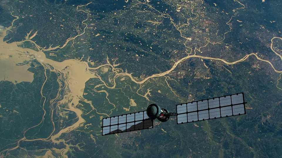
DINOv3 is an advanced AI foundation model developed by Meta, with support from the World Resources Institute (WRI) and the Land & Carbon Lab, that is helping transform how restoration projects are measured, verified and financed. By analyzing satellite, drone and field imagery, the model can accurately count trees and measure their growth without the need for costly ground monitoring or manual labeling. This technology underpins initiatives like TerraFund, which invests in locally-led restoration projects across Africa. Many local organizations struggle to prove impact and attract funding. TerraFund addresses this by combining grants, loans and equity (typically USD 50k–USD 500k) with training, technical support and AI-powered monitoring. Its monitoring, reporting and verification (MRV) system integrates field data with satellite analysis to track tens of thousands of sites, verifying tree growth and outcomes every six months. When calibrated with data from initiatives such as TerraFund, DINOv3 can achieve roughly 80 percent of the accuracy of traditional forestry measurements, while substantially reducing monitoring costs. This is helping shift restoration finance beyond upfront philanthropy. By reducing the cost of verification and providing more transparent evidence of outcomes, AI-enabled MRV systems can help build investor confidence and channel greater public and private capital toward locally-led restoration projects (
Multispectral drones detect species-specific drought stress before it is visible
Swiss Federal Institute for Forest, Snow and Landscape Research (WSL)
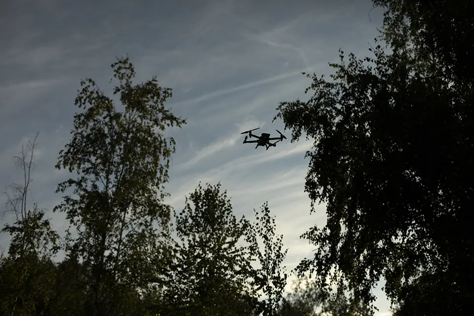
Researchers at WSL used drone-based remote sensing to detect and analyze drought stress in forests during the hot summer of 2023. The drones, equipped with multispectral cameras, captured visible imagery alongside wavelengths linked to protective pigments that trees produce under drought conditions. This allowed scientists to identify “invisible” signs of drought stress before damage could be seen in seven native tree species. By repeatedly scanning forest canopies, they tracked changes in leaf color and density, which provided insight into longer-term stress such as defoliation. The technology revealed species-specific responses. Oaks recovered quickly from a previous hot day, while conifers showed delayed signs of drought stress – but then suddenly died. Researchers are now studying non-native trees to help identify which ones could replace native trees in areas especially susceptible to the impacts of climate change. Compared to traditional field methods, this approach enables more continuous large-area monitoring and precise assessment of how specific species respond to heat and drought (
Triple wins: restoration, resilience and livelihoods in Rwanda
UNDP and Global Environment Facility (GEF) Least Developed Countries Fund
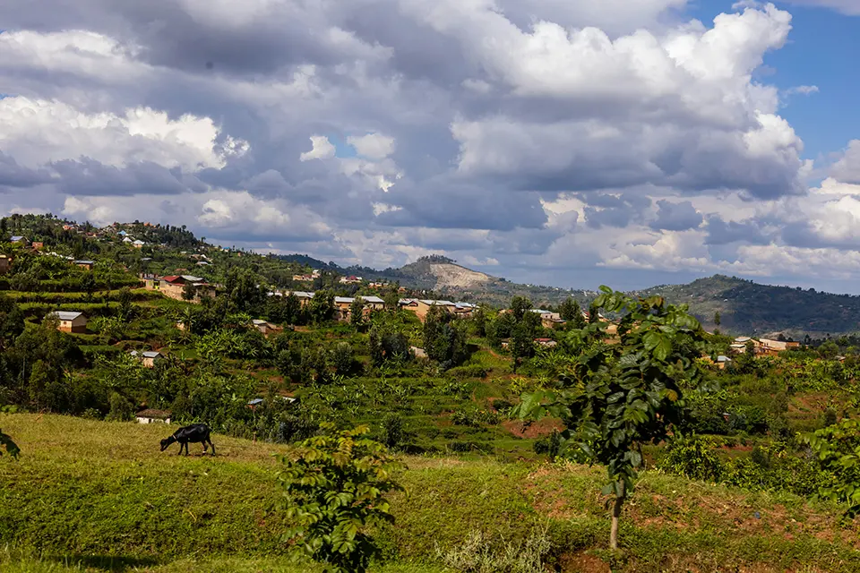
Rwanda is emerging as a model for integrating ecosystem restoration, climate adaptation and rural development. In the country’s imidugudurural settlement areas, climate change has intensified land degradation through irregular rainfall, drought, floods and soil erosion. To address these challenges, the Government of Rwanda launched a project with the support of the United Nations Development Programme (UNDP) and GEF in the Gakenke and Kirehe districts that combines ecosystem restoration with infrastructure upgrades, climate-smart agriculture and sustainable livelihood development. The initiative includes terraces, forest rehabilitation, tree planting, riverbank protection, agroforestry and improved cookstoves to reduce pressure on biomass resources. One of its most innovative features has been the deployment of small-scale solar-powered irrigation systems across 80 hectares in drought-prone Kirehe. Combined with newly constructed terraces, these systems have improved water access, strengthened resilience to drought and significantly boosted agricultural productivity. Since the project began in 2022, more than 5,000 hectares of degraded land has been restored, benefiting over 286,000 people. Farmers have reported tripled harvests due to reduced soil erosion, improved water management and ecosystem restoration efforts, illustrating how integrated land restoration can simultaneously strengthen climate resilience, food security and rural livelihoods (
Drones restore remote landscapes in the Republic of Ireland and Scotland
Precision drone spray
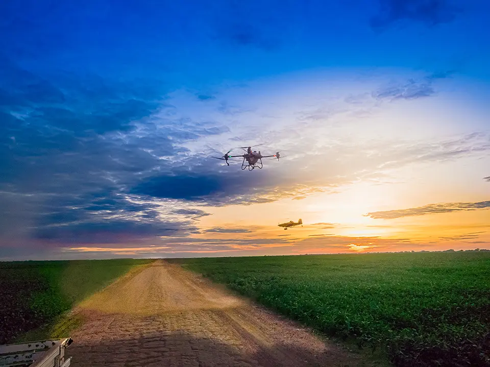
High-capacity agricultural drones like the DJI Agras T25 and DJI Agras T50 are being applied as practical tools to support land restoration in remote environments. Rather than replacing traditional methods, they expand upon them by enabling reseeding, targeted material application and monitoring on remote, wet or unstable terrain. The core value of the technology lies in precision and access. Drones can distribute seeds or soil treatments without disturbing fragile ground. They reach steep or fragmented sites quickly, and operate safely in conditions that limit human or vehicle access. They also provide repeatable aerial data, allowing teams to track vegetation recovery, establish baselines and generate verifiable evidence for reporting. In Scotland, drones are used within ecology-led programmes to reseed peatlands, stabilize soils and monitor restoration outcomes over time. Likewise in the Republic of Ireland, they are being used for native woodland support and post-disturbance response. This integration ensures that technology supports, rather than drives, restoration decisions (
The following collection of technologies is divided into three groups: Proven technologies have been on the market for some time and hence are well tested, Frontier technologies are available but relatively new, while Horizon technologies are close to being available but still under development.
Proven technology solutions
Forest and land use satellite monitoring
Planet Labs
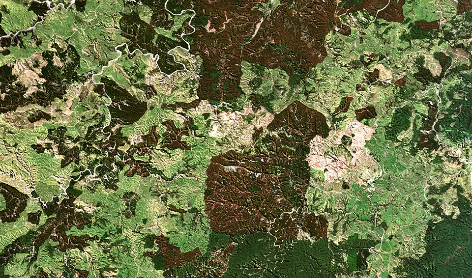
Planet Lab’s forest monitoring technologies use high-frequency, high-resolution satellite imagery and AI-powered datasets to help users track forest conditions globally. By imaging the Earth daily using its large satellite fleet, Planet enables near-real-time detection of forest cover change, illegal deforestation, harvest boundaries, and disturbances like fires or pest outbreaks. This data supports forest health monitoring using spectral analysis (e.g., vegetation indices), helps assess natural disaster impacts, and supports REDD+ and carbon project measurement, reporting and verification (MRV) by quantifying canopy and biomass change over time. Planet’s Forest Carbon products estimate aboveground forest carbon, canopy height and cover at a fine spatial resolution, providing scalable, consistent carbon stock and tree-scale change insights for carbon accounting, reforestation monitoring and land-use planning. Accessible through tools, application programming interfaces(APIs), mosaics and historical archives, these technologies make large-area, consistent forest observation actionable for managers, governments and conservation groups.
Technological maturity: Proven
Contracting type: Subscription-based SaaS platform
Technology level: High
Place of origin: United States
Availability: Worldwide
Contact: WIPO GREEN Database
Wireless in situ soil moisture and temperature sensor system
Soil Scout
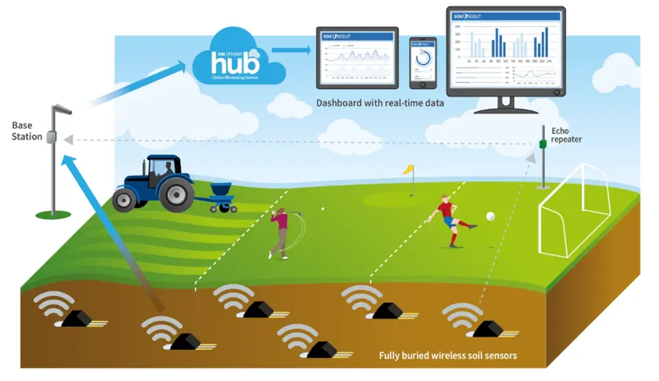
Soil Scout is a soil monitoring technology company that develops fully buried wireless sensors for real-time measurement of soil conditions. Designed for agriculture, sports turf and ecosystem management, its sensors monitor parameters such as soil moisture, temperature, salinity and oxygen directly within the root zone, transmitting data wirelessly to cloud-based dashboards without the need for cabling or surface equipment. The system’s patented underground radio technology allows long-term monitoring at depths of up to 2 meters, while minimizing any disturbance to soils and land use activities. By generating continuous “underground weather” data, Soil Scout supports more precise irrigation, soil restoration, drought management, and vegetation health monitoring. Its long battery life (up to 20 years in some models) and maintenance-free design make it particularly suited for large-scale or remote landscape management applications.
Technological maturity: Proven
Contracting type: For sale
Technology level: Medium
Place of origin: Finland
Availability: Worldwide
Contact: WIPO GREEN Database
Drone for forestry
Eagle NXT
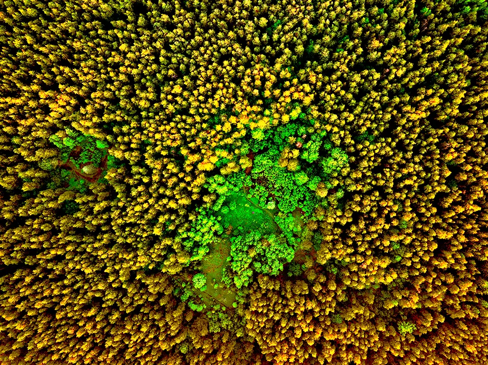
Eagle NXT provides forestry drone solutions that use unmanned aircraft equipped with advanced sensors (red, green, blue (RGB), multispectral, thermal, and LiDAR) to support forest management and monitoring. The company’s systems capture detailed aerial data in order to map forest structure, tree health and canopy cover, estimate biomass and carbon stocks and detect stress, disease or pest damage early. By combining accurate geospatial imagery with analytics software, these drones help forestry professionals assess regeneration success, inventory timber resources, plan harvests and monitor changes over time with greater speed and safety than ground surveys. The technology also supports risk assessment by identifying fire hazards, mapping fuel loads and tracking post-disturbance recovery. Eagle NXT’s workflow integrates automated flight planning, reliable data capture and easy-to-interpret outputs, enabling more informed decision-making for sustainable forest management, conservation and restoration.
Technological maturity: Proven
Contracting type: For sale
Technology level: High
Place of origin: United States
Availability: Worldwide
Contact: WIPO GREEN Database
GeoAI platform
Picterra
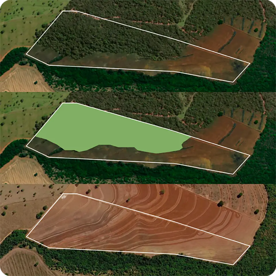
Picterra is a GeoAI platform that turns satellite and aerial imagery into continuous, plot-level intelligence on land and vegetation. Restoration and conservation teams use it to map vegetation and land cover, track change over time, identify invasive species, assess habitats, measure above-ground carbon, and verify outcomes such as tree survival, canopy growth, and erosion. Machine learning models can be adapted to specific species, landscapes, and project types rather than generic global datasets. It combines drone, satellite, and environmental data, and analyzes large areas repeatedly over time. Because every result is georeferenced and traceable to its source, Picterra helps projects produce the independent, verifiable evidence funders, certification schemes, and regulators require.
Technological maturity: Proven
Contracting type: Subscription-based SaaS platform
Technology level: High
Place of origin: Switzerland
Availability: Worldwide
Contact: WIPO GREEN Database
Smart plant cocoon planting device
Groasis
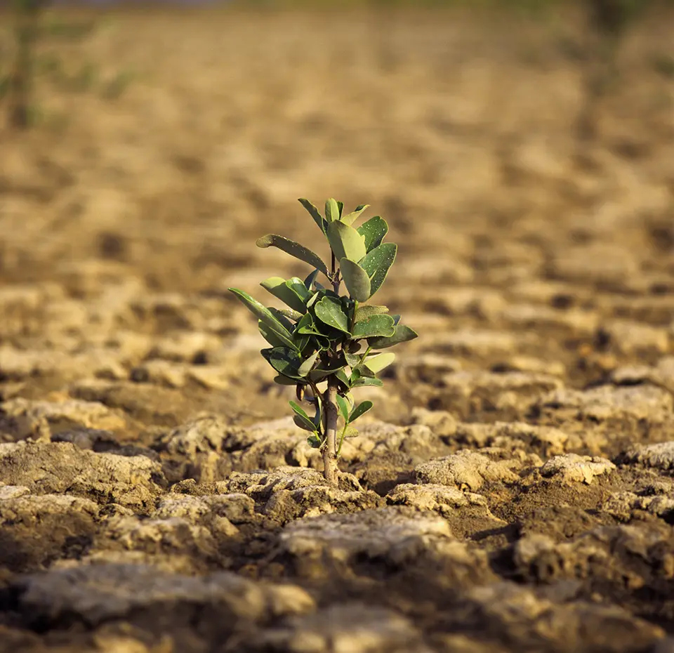
Groasis Waterboxx® is a patented ecological planting device – essentially a smart plant cocoon – designed to help trees, shrubs and vegetables survive and grow in dry, degraded or eroded land without irrigation. It collects rainwater and condensation in its reservoir and releases small amounts of water into the soil through capillary action, thus stabilizing temperature and moisture around young roots. This encourages deep root systems, reduces evaporation and significantly raises survival rates while lowering water use and cost compared with traditional irrigation. Groasis has deployed its Waterboxx® and biodegradable Growboxx® plant cocoons in dozens of countries over two decades to restore ecosystems, fight desertification and support agroforestry. Its technology has demonstrated ~90 percent survival rates using up to 90 percent less water than conventional methods.
Technological maturity: Proven
Contracting type: For sale
Technology level: Medium
Place of origin: The Kingdom of the Netherlands
Availability: Worldwide
Contact: WIPO GREEN Database
AI-powered tree intelligence platform
SeeTree
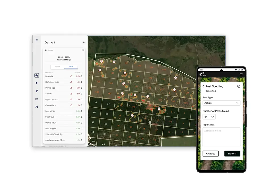
SeeTree is an AI-powered agriculture optimization platform that digitizes farms, orchards, plantations, and agricultural assets at scale by integrating imagery and data from drones, satellites, field operations, and other sources. The platform delivers highly granular insights on crop inventory, health, biomass, productivity, and field performance. Through advanced AI, computer vision, and predictive analytics, SeeTree enables growers and agribusinesses to improve yield forecasting, optimize harvest planning, manage replanting programs, detect stress, pests, and diseases early, and drive more efficient field operations. Although originally focused on orchards and high-value crops, SeeTree’s per-tree monitoring, GIS mapping and predictive insights are applicable to forest health monitoring, restoration planning and carbon stock estimation over vast landscapes.
Technological maturity: Proven
Contracting type: Subscription-based SaaS platform
Technology level: High
Place of origin: Israel
Availability: Worldwide
Contact: WIPO GREEN Database
Global digital soil mapping system using machine learning
International Soil Reference and Information Centre (ISRIC)
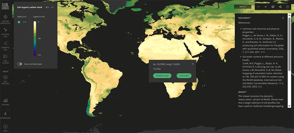
SoilGrids is a global digital soil mapping system developed by ISRIC – World Soil Information that uses machine learning to model the spatial distribution of soil properties worldwide. It combines thousands of soil profile observations from the WoSIS database with hundreds of environmental covariates including climate, land cover and terrain data to generate high-resolution predictions. The platform provides maps of key soil characteristics (e.g., soil organic carbon, texture, pH, bulk density and nutrients) at 250-meter resolution across multiple depth layers, along with pixel-level uncertainty estimates. By delivering consistent, spatially explicit soil data at the global scale, SoilGrids supports land-use planning, restoration design and environmental modeling.
Technological maturity: Proven
Contracting type: Open access
Technology level: High
Place of origin: Kingdom of the Netherlands
Availability: Worldwide
Contact: WIPO GREEN Database
Forest landscape model for ecosystem dynamics (disturbance)
Technical University of Munich
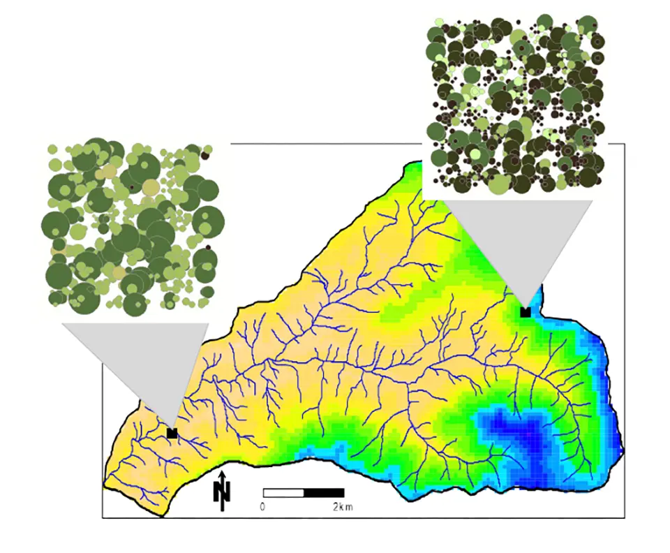
iLand is a process-based, individual-tree forest landscape model designed to simulate ecosystem dynamics across large spatial and temporal scales at the individual tree level. It represents forests as complex adaptive systems, explicitly modeling the growth, competition, mortality and regeneration of individual trees and how these interactions scale up to landscape-level patterns. Using a multi-scale framework, the model integrates fine-scale physiological processes, such as photosynthesis, carbon allocation, and resource competition, with broader drivers including climate, soil conditions and disturbance regimes like fire, wind and pests. By simulating both continuous processes (growth, carbon cycling) and discrete disturbances, iLand can project forest development over decades to centuries and across very large areas. Its spatially explicit design captures how structure, composition and resilience emerge from interactions between individual trees and the environment, making it a powerful tool for evaluating climate impacts, disturbance effects and restoration or management strategies at landscape scale.
Technological maturity: Proven
Contracting type: Open source
Technology level: High
Place of origin: Germany
Availability: Worldwide
Contact: WIPO GREEN Database
Process-based forest growth modelling system
University of British Columbia
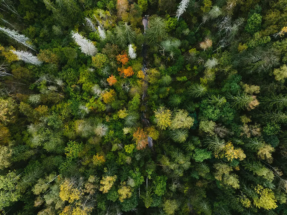
3-PG (Physiological Principles Predicting Growth) is a process-based forest growth modelling system used to simulate how forests grow under different climate, soil and management conditions. Developed in the late 1990s, the model estimates forest productivity, biomass, carbon storage, water use and tree growth by combining weather, soil moisture, radiation and physiological processes such as photosynthesis. It is widely used in forestry, restoration and climate research, because it requires relatively simple input data, while still producing detailed predictions. Variants such as 3-PGS and 3-PGmix integrate remote sensing and GIS data or model mixed-species forests, allowing users to assess climate change impacts, restoration scenarios and long-term forest management outcomes across landscapes.
Technological maturity: Proven
Contracting type: Open source
Technology level: High
Place of origin: Canada
Availability: Worldwide
Contact: WIPO GREEN Database
Earth observation-based land degradation monitoring tool
Conservation International, Lund University, NASA, GE, University of Bern, University of Colorado, USDA, USAID, University of California – Santa Barbara, University of North Carolina – Wilmington, and Brown University
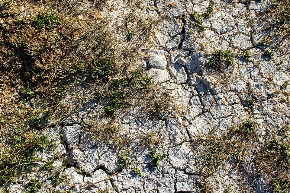
Trends.Earth is an open-source geospatial monitoring platform developed under the United Nations Convention to Combat Desertification (UNCCD) to help countries and land managers assess land degradation and restoration progress. This tool combines satellite imagery, remote sensing, climate and soil data to track indicators such as vegetation productivity, land cover change and soil organic carbon. It operates through a QGIS plugin and cloud-based processing system, allowing users to analyze large datasets without the need for advanced technical infrastructure. Trends.Earth supports monitoring of Sustainable Development Goal (SDG) 15.3 on land degradation neutrality and helps governments identify degraded areas, prioritize restoration efforts and evaluate the effectiveness of interventions over time. Because it relies on globally available Earth observation data, it enables relatively low-cost, standardized monitoring across different ecosystems and regions.
Technological maturity: Proven
Contracting type: Open source
Technology level: High
Place of origin: United States
Availability: Worldwide
Contact: WIPO GREEN Database
Frontier technology solutions
GPS-independent navigation and geolocation software suite for autonomous drones
Vantor
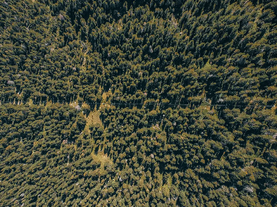
RAPTOR is a GPS-independent navigation and geolocation software suite for autonomous drones, enabling precise operations when GPS signals are unavailable. Using only a drone’s onboard camera and Maxar’s 3D terrain data, it enables navigation, positioning and ground coordinate extraction when GPS signals are unavailable. The suite includes tools for drone positioning, video geo-registration and real-time coordinate extraction from video feeds. It can operate day or night, including in remote or heavily forested environments where GPS coverage may be unreliable. The technology can support ecosystem restoration and environmental monitoring by enabling drones to map terrain, monitor vegetation change, assess erosion and water flow, and capture georeferenced imagery in difficult environments. Its GPS-independent capabilities may be useful in mountainous terrain, dense forests, deep valleys, and other environments where terrain or vegetation can reduce GPS accuracy and reliability.
Technological maturity: Frontier
Contracting type: For sale
Technology level: High
Place of origin: United States
Availability: Worldwide
Contact: WIPO GREEN Database
Multispectral camera for forest health mapping
Wingtra
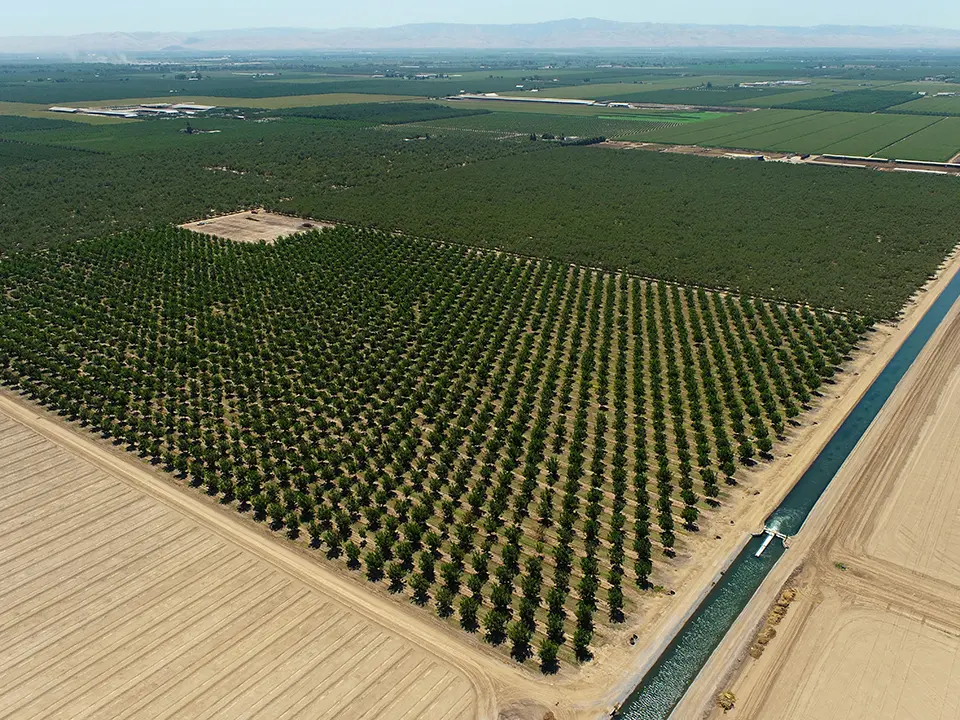
The MicaSense RedEdge-P is a high-resolution multispectral and panchromatic camera for drones that captures five narrow spectral bands (blue, green, red, red-edge, near-infrared) plus a high-detail panchromatic band in one flight. This allows the creation of RGB and vegetation index maps, such as NDVI and NDRE, which indicate chlorophyll levels and plant vigor. In forestry, these maps help assess tree health, detect stress or disease, monitor species variation and quantify canopy conditions over large areas. Its high spatial resolution and efficient data capture support detailed forest health monitoring and change detection when flown on a mapping drone like the WingtraOne.
Technological maturity: Frontier
Contracting type: For sale
Technology level: High
Place of origin: Switzerland
Availability: Worldwide
Contact: WIPO GREEN Database
AI-powered satellite forest monitoring platform
Salo Sciences
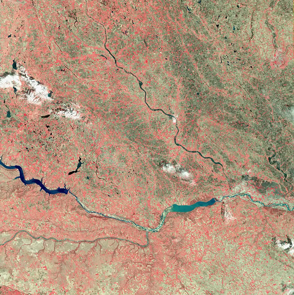
The Salo Science Forest Observatory is a satellite-based forest monitoring system that uses high-resolution satellite data and AI algorithms to map forest structure and health at fine scales – including canopy height, canopy cover, vertical layers, dead trees, fuel density and vegetation moisture indicators. It turns raw satellite imagery into ecological metrics that show how forests are changing over time. For wildfire risk, it integrates fuel-load mapping (e.g., dry versus green vegetation), weather, topography and infrastructure to show where a forest is most vulnerable and help estimate hazard patterns and fire behavior. Because drought stress influences vegetation moisture and fuels, the same data layers can highlight areas under drought pressure and track how conditions evolve.
Technological maturity: Frontier
Contracting type: Subscription-based SaaS platform
Technology level: High
Place of origin: United States
Availability: Worldwide
Contact: WIPO GREEN Database
AI-driven forest analytics platform
CollectiveCrunch
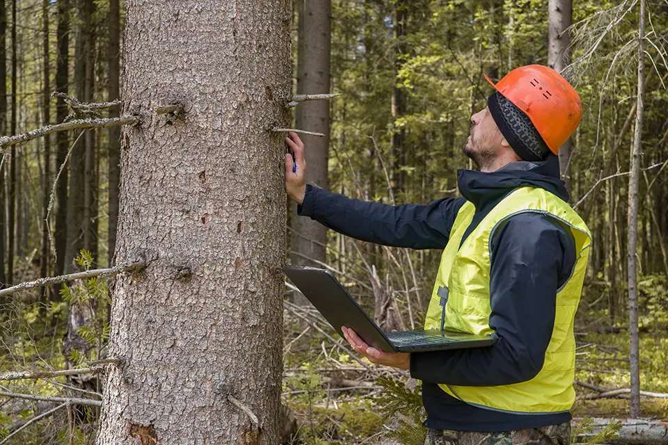
CollectiveCrunch provides AI-driven forest analytics to help managers monitor ecosystem health, track pests like bark beetles, assess biodiversity, and update forest inventories using remote sensing and machine-learning models. Its bark beetle product analyzes satellite (and LiDAR/other) data to detect early signs of infestations invisible to the human eye and map damage severity so interventions can be planned sooner. It also supports near-real-time stress monitoring, helping mitigate pest impacts and protect forest resilience. The biodiversity index quantifies habitat value and deadwood presence, highlights high-value conservation areas, and gives management recommendations to improve ecological diversity. The forest inventory solution delivers annual tree stand metrics (species, volume, height, carbon stocks) on fine grids, replacing infrequent field surveys. All products rely on AI models trained on satellite and contextual data, integrating with GIS and management systems.
Technological maturity: Frontier
Contracting type: Subscription-based SaaS platform
Technology level: High
Place of origin: Finland
Availability: Worldwide
Contact: WIPO GREEN Database
Multi-parameter soil sensor
Delta-T Devices
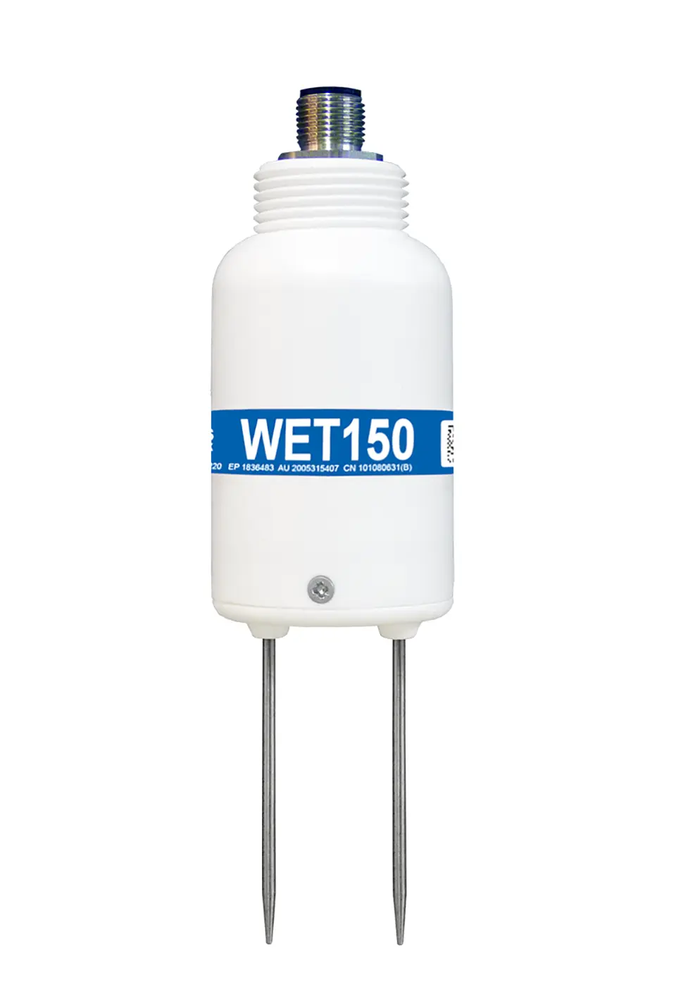
The WET150 is a research-grade, multi-parameter soil sensor designed for the continuous monitoring of root-zone conditions in restoration and land management systems. When buried, it simultaneously measures soil moisture, temperature and electrical conductivity (EC), providing insight into water availability, thermal conditions and nutrient status. Its ability to estimate pore water conductivity (ECp) makes it particularly valuable for understanding plant-accessible nutrients under changing environmental conditions. Built for long-term field deployment, the sensor is rugged, low-power and fully buriable, with stable performance across varying salinity and temperature ranges. Using a digital SDI-12 interface, it integrates easily into sensor networks, enabling multiple devices to connect to a single data logger for scalable monitoring. With onboard processing for data correction and averaging, the WET150 delivers high-quality, consistent measurements, supporting applications such as restoration monitoring, precision irrigation and environmental monitoring, reporting and verification (MRV) systems.
Technological maturity: Frontier
Contracting type: For sale
Technology level: Medium
Place of origin: United Kingdom
Availability: Worldwide
Contact: WIPO GREEN Database
Bio-based soil remediation material
Green Technology Bank (Shanghai) Agricultural Technology Co., Ltd.
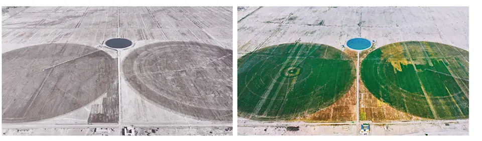
Special Biomass Thickener (SBT) is a bio-based soil remediation material designed to restore degraded and saline soils, while improving long-term productivity. Composed of natural biomass-derived components including cellulose, lignin, chitin, algae and other organic materials, SBT enhances soil aggregation, aeration and water retention, regulates soil pH, reduces salinity, and promotes beneficial microbial activity. Supported by a full-chain design encompassing "material R&D - process optimization - equipment adaptation - method innovation," this technology integrates four customized core material systems to reconstruct desert soil structure, optimize water and fertilizer, activate soil life, and consolidate remediation effects. This approach enables the rapid formation of arable soil layers, achieving a comprehensive breakthrough from soil remediation to the construction of sustainable ecosystems. The technology has been successfully applied in saline-alkali soil remediation and desertification control at the edge of the Taklamakan Desert in Xinjiang, where SBT-based materials have been used to rehabilitate degraded desert and Gobi land into productive farmland. SBT was also deployed through a WIPO GREEN Acceleration Project, demonstrating its potential for broader international application.
Technological maturity: Frontier
Contracting type: For sale
Technology level: Medium
Place of origin: China
Availability: China, United Arab Emirates
Contact: WIPO GREEN Database
Cloud seeding and weather modification technology platform
Rainmaker
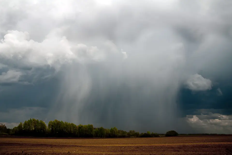
Rainmaker is a cloud-seeding and weather-modification technology platform that modernizes the long-established process of cloud seeding by combining advanced radar, unmanned aircraft (drones) and weather-awareness systems to more precisely stimulate precipitation. Cloud seeding can trigger increases in rainfall or snow, which over time helps recharge aquifers, restore stressed ecosystems, alleviate drought and reduce wildfire risk by increasing landscape moisture. The company embeds scientific research and monitoring to validate results and guide operations responsibly. Its drone component and radar systems aim to make cloud seeding more efficient and responsive to real-time atmospheric conditions, while providing data to validate outcomes. The company operates primarily across the US West and works with water agencies and agricultural clients to address water scarcity and ecosystem stress.
Technological maturity: Frontier
Contracting type: For service contract
Technology level: High
Place of origin: United States
Availability: United States
Contact: WIPO GREEN Database
Environmental intelligence platform
Amini AI
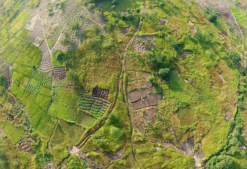
Amini is an African AI and geospatial intelligence company that builds environmental data infrastructure for Africa and the Global South. The platform combines satellite imagery, AI, machine learning and ground-level environmental data to generate high-resolution insights on land use, drought, soil health, water availability, agriculture, deforestation and climate risks. Amini’s technology is designed to address the severe scarcity of reliable environmental data across many African regions, where limited monitoring infrastructure has historically constrained climate adaptation, restoration planning, insurance, and investment decisions. Its platform integrates Earth observation data, local datasets and AI-driven analytics into accessible tools for governments, businesses, insurers and smallholder farmers. By building locally-calibrated environmental intelligence systems, Amini aims to strengthen climate resilience and support data-driven restoration and sustainability planning across the continent.
Technological maturity: Frontier
Contracting type: For subscription
Technology level: High
Place of origin: Kenya
Availability: Africa and the Caribbean
Contact: WIPO GREEN Database
Biochar from wildfire fuels/residue
Charm Industrial
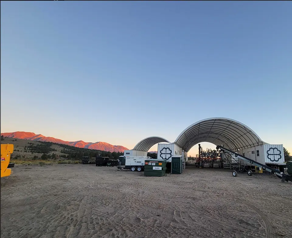
Charm Industrial uses fast pyrolysis to convert excess forest biomass into bio-oil that is injected underground for permanent carbon storage. By processing woody residues that would otherwise decompose or be burned, the system reduces wildfire fuel loads, while preventing carbon emissions and smoke pollution. Charm deploys mobile pyrolysis units in partnership with forest managers, communities and wildfire mitigation groups, enabling the on-site processing of surplus biomass in fire-prone areas. This approach helps reduce wildfire risk, improve air quality and create a productive use for low-value forest residues, while supporting long-term carbon removal. The company has expanded its efforts through collaborating with organizations that include the National Forest Foundation and forestry partners in the western United States.
Technological maturity: Frontier
Contracting type: For service contract
Technology level: High
Place of origin: United States
Availability: Northern America
Contact: WIPO GREEN Database
AI + tree-planting robot
Eason Intelligent Equipment (Beijing) Co., Ltd.
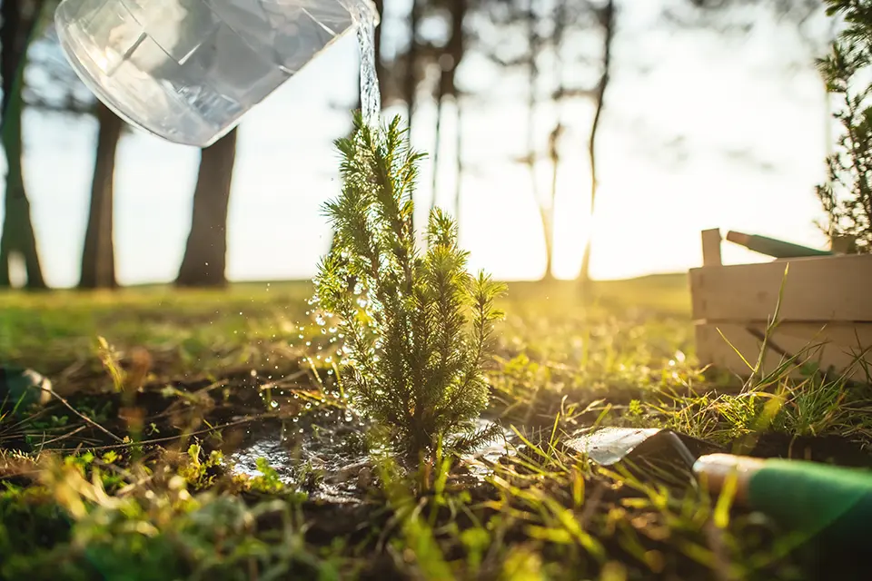
The AI + Tree-Planting Robot is an autonomous restoration system designed to improve the speed, precision and scalability of afforestation and desertification control. The platform integrates AI, autonomous driving, machine vision and 5G connectivity to automate tree planting when navigating challenging terrain. The system supports a full restoration workflow through an integrated planting–management–carbon sink (PMCS) approach, combining precision planting with digital forestry management and carbon sink monitoring. By reducing labor requirements and enabling more efficient deployment in remote or degraded landscapes, the technology aims to accelerate large-scale ecological restoration, while generating digital data that support long-term forest management and carbon accounting. It illustrates the growing convergence of robotics, AI and ecosystem restoration for climate resilience and sustainable land management.
Technological maturity: Frontier
Contracting type: For sale
Technology level: High
Place of origin: China
Availability: China
Contact: WIPO GREEN Database
Horizon technology solutions
Autonomous quadruped tree-planting robot
Trovador
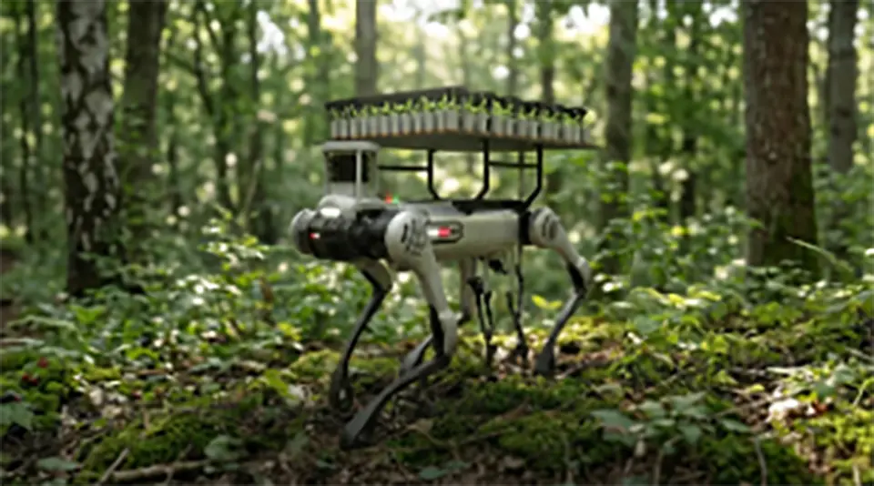
Trovador is an autonomous quadruped tree-planting robot designed to restore forests in steep, wildfire-affected and difficult-to-access terrain where conventional machinery is unable to operate. Using AI, onboard sensors and computer vision, the robot identifies suitable planting microsites, navigates slopes of up to 45°, and plants native seedlings with precise depth and root placement to improve survival rates. Each planted tree is GPS-tagged and logged, enabling digital monitoring and MRV (monitoring, reporting, verification)-ready reporting through a cloud-based platform. The system also incorporates mission-planning software that optimizes planting trajectories using terrain, hydrology and other environmental data. Trovador represents a new generation of autonomous restoration robotics that aims to increase the speed, precision and scalability of post-fire reforestation, while reducing labor requirements and minimizing soil disturbance.
Technological maturity: Horizon
Contracting type: Under development
Technology level: High
Place of origin: Portugal
Availability: Under development
Contact: WIPO GREEN Database
Passive planting system for heat- and drought-stressed land
Carbon Blue Solutions Limited LLC
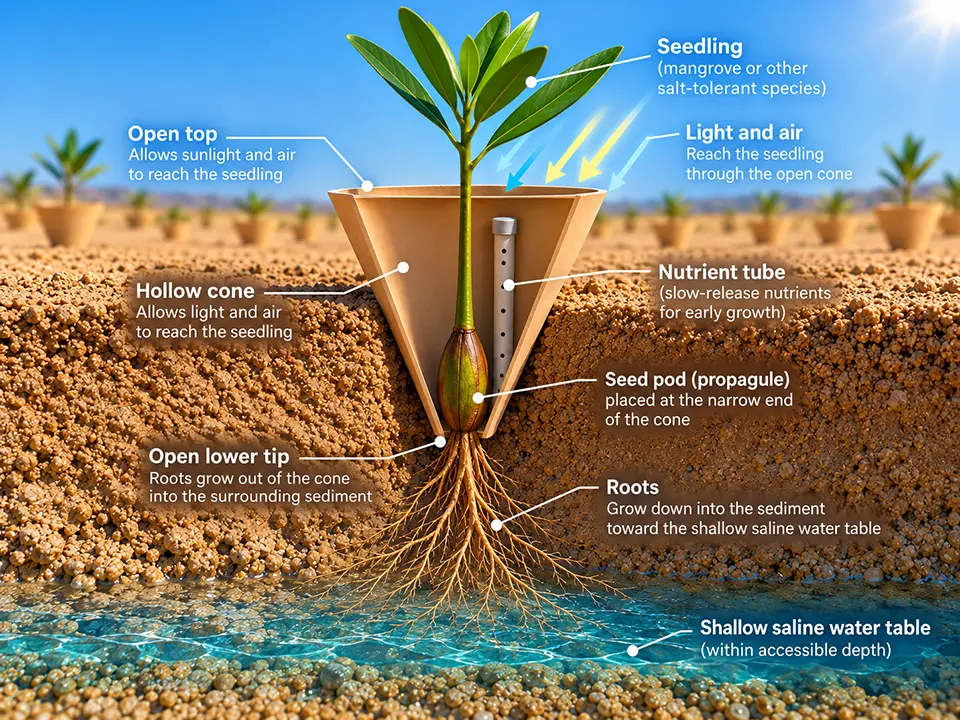
The OasisCone™ is a patent-pending passive planting system designed to support mangroves, halophytes, and saline-tolerant vegetation in arid and saline environments without irrigation or freshwater inputs. The cone is installed with its base below the soil surface, allowing plant roots to access moisture in shallow subsurface saline sediments while shielding young plants from heat, wind and surface salt accumulation. Its semi-enclosed structure reduces evaporation and provides a buffered microenvironment during early plant development. A biodegradable nutrient tube can deliver nutrients directly to the root zone, reducing the need for repeated fertilization. By facilitating plant establishment under water-limited conditions, the technology aims to support vegetation recovery and ecosystem restoration in areas exposed to extreme heat, drought and salinity. The technology is currently in pre-pilot development, with the developer seeking partners for its first field deployment.
Technological maturity: Horizon
Contracting type: For collaboration/partnership
Technology level: High
Place of origin: United States
Availability: Under development
Contact: WIPO GREEN Database
2.2 Biodiversity loss and soil decline
In its most recent global assessment, the Intergovernmental Science-Policy Platform on Biodiversity and Ecosystem Services (IPBES) highlighted a severe decline in biodiversity: about three-quarters of the Earth’s land surface has been significantly altered (
While biodiversity loss and soil degradation are often discussed as separate challenges, they are in fact tightly interconnected expressions of a deeper breakdown in ecosystem function. Above ground, biodiversity loss and declining habitat complexity reduce ecosystem resilience and productivity. Below ground, the decline in soil structure, organic carbon and microbial life undermines the foundation that sustains plant growth and ecosystem stability. Climate change further accelerates soil degradation through warming, drought, altered rainfall patterns and wildfires, contributing to erosion, organic matter loss and disrupted nutrient cycling (
Climate change is already shifting terrestrial species distribution and phenology, raising the risk of localized extinction, especially when it interacts with land use change (
As biodiversity and soil health decline, ecosystems become less able to recover from disturbance, more vulnerable to future climate shocks and increasingly prone to long-term degradation
In fact, the link between soil health and biodiversity is well established. Related interactions are being quantified through studies of soil microbial processes and carbon cycling. The loss of soil diversity has been found to reduce soil carbon respiration by 27 percent and plant tissue decomposition by 18 percent. Loss of microbial biodiversity has also been shown to reduce soil carbon respiration by 41 percent (
Mycorrhizal fungi play a foundational, but often overlooked, role in linking biodiversity, soil health and climate, acting as underground networks that regulate nutrient flow and drive significant carbon storage (~13 billion tonnes of CO2annually). New high-resolution mapping carried out by SPUN in its first representation of global mycorrhizal biodiversity shows global distribution is strongly shaped by environmental factors – especially climate – rather than simply by plant diversity (
For restoration projects, however, monitoring should focus on a practical set of affordable and standardized soil and biodiversity indicators that can be measured consistently at scale (
As biodiversity and soil health decline, ecosystems become less able to recover from disturbance, more vulnerable to future climate shocks and increasingly prone to long-term degradation. Over time, these changes can lessen carbon storage capacity and, in some cases, transform ecosystems from carbon sinks into a net source of emissions.
Wildlife and habitat under climate stress
Wildlife corridors are impacted by climate change. As temperatures rise, low-lying corridors can become too hot for species to pass through. The destination at the end of a corridor may no longer be suitable for the species it was intended to protect. Fluctuations in rainfall and snowpack can reduce water availability at critical stopover points, such as riparian zones, which provide water, food and shelter during movement. And animals often begin migration based on environmental cues that may become misaligned with resource availability.
Climate change is also altering migration timing, breeding cycles and species distribution. For instance, many birds and mammals are adjusting their breeding season to match warmer conditions, while some insects are expanding into new regions as climates shift (
Habitat loss is driven in part by climate change, but also by human activity exerting pressure on ecosystems. When ecosystems become fragmented, species lose habitat and resources, disrupting food webs and ecological balance. Conservation efforts to protect and restore habitats include protected areas and wildlife corridors (
GPS telemetry, satellite tracking systems such as the ICARUS Initiative, camera traps and remote sensing platforms allow researchers to track changes in migration patterns and habitat usage, as well as species range shifts under climate stress. These data are integrated into GIS-based connectivity and predictive movement models, such as Linkage Mapper and Circuitscape, which help identify corridors, ecological bottlenecks and priority areas across fragmented landscapes. Linkage Mapper identifies potential habitat corridors and least-cost pathways between important ecosystem areas by analyzing how difficult different landscapes are for species to traverse. Circuitscape complements this by applying circuit theory in order to model multiple potential movement routes and helping identify ecological “pinch points” and barriers.
As climate change and habitat fragmentation alter species movement, conservation efforts increasingly rely on technologies able to monitor wildlife movement, identify ecological barriers and support connectivity planning
At a finer scale, AI-enabled camera trap systems, such as Wildlife Watcher and Spoor (see Frontier technology solutions), are increasingly being employed alongside satellite data, acoustic monitoring and environmental DNA analysis. Wildlife Watcher uses embedded AI models to process species recognition directly on remote camera systems in real time.
Rebuilding ecosystems with agroforestry and biochar
Agroforestry, as mentioned in the section above on Heat, drought and disturbance, helps restore and bolster ecosystem function and soil health through the joint cultivation of trees and crops. It enhances soil and crop productivity and supports diverse livelihoods. Agroforestry is particularly effective, because its integration of trees with crops restores soil structure and nutrients through leaf litter and root systems. It also creates more diverse habitats, supporting higher levels of biodiversity than conventional monoculture systems (
Complementary soil restoration approaches can further enhance these benefits, particularly in degraded landscapes. Biochar is a carbon-rich material created by heating organic matter in low-oxygen conditions and possesses properties that enhance soil structure, improve nutrient retention and support microbial activity (
In dryland areas, biochar’s porous structure creates protected microhabitats (“refugia”) for soil microbes. It increases microbial biomass by 30–60 percent and reshapes microbial communities toward phosphorus-solubilizing and nutrient-cycling organisms, while also reducing GHG emissions, including ~18 percent lower N2O emissions in some semi-arid systems (
Biochar is widely considered one of the most mature and scalable carbon dioxide removal technologies currently available
Biochar varies widely depending on feedstock and production method: agricultural-waste biochar mainly improves soil organic matter and water retention; forestry-residue biochar enhances soil structure and infiltration through high porosity; and manure-based biochar adds nutrients to poor soil. It can also help remediate contaminated soil by adsorbing heavy metals and pollutants. Yet challenges remain, including inconsistent biochar properties, limited long-term research, farmer knowledge gaps and high upfront production and application costs, especially for small-scale producers (
Biochar is widely considered one of the most mature and scalable carbon dioxide removal (CDR) technologies currently available. It has a high technology readiness level (TRL 8–9), meaning it is already deployed at a commercial scale (
From species counts to ecosystem intelligence
A shift is underway from sparse, manual surveys toward continuous, multi-layered intelligence that captures above and belowground dynamics. Molecular tools like eDNA – commercialized at scale by groups such as NatureMetrics – are making biodiversity measurable in a standardized form by detecting entire communities (including microbes) within soil and water without the need for direct observation. This is being combined with AI-driven platforms that mix bioacoustics, camera traps, satellite data and field inputs into biodiversity indices.
High-resolution 3D “digital twins” of ecosystems are emerging able to capture habitat complexity and not just list species. Predictive geospatial models are identifying ecosystems at risk before degradation occurs rather than documenting loss after the fact.
In short, biodiversity technologies are evolving from counting species to continuously assessing ecosystem function
Attention is shifting below ground to restoring soil biology (e.g., fungal networks), stabilizing erosion and rebuilding native seed supply chains. In short, biodiversity technologies are evolving from counting species to continuously assessing ecosystem function. This shift toward ecosystem-scale intelligence is being enabled by a rapidly expanding monitoring infrastructure combining satellite, drone and field-based sensing technologies. Remote sensing tools use vegetation indices to detect those ecological changes relevant to biodiversity. Widely used indices such as the Normalized Difference Vegetation Index (NDVI), Enhanced Vegetation Index (EVI) and the Soil-Adjusted Vegetation Index (SAVI) measure vegetation health and cover (
These technologies are being combined with machine learning, AI and cloud computing. Drones, hyperspectral imaging, radar, laser scanning and CubeSat constellations now enable the real-time tracking of habitat quality, species distribution and habitat connectivity, providing an early warning system for biodiversity loss (
As mentioned in the next section on scaling land-based restoration, caution is needed despite the urgent need to find solutions that reverse the biodiversity crisis. AI could serve to improve biodiversity conservation by handling complex and massive datasets, identifying patterns, scaling analysis and improving predictions and decision-making. Traditional methods of processing such diverse environmental data are often slow and limited. However, biodiversity systems are highly complex and interconnected with human systems, and the application of AI also introduces ethical, social and environmental risks that require careful oversight.
AI may, for example, be used to replace human expertise, thereby eroding field skills and ecological knowledge in the long term. Moreover, models trained on biased data sets may result in misaligned decisions. Tracking technologies could also be misused by poachers or other malign actors, while unequal control over biodiversity data may serve to reinforce existing global power imbalances, particularly when ecological data from the Global South is collected and used primarily by institutions in the Global North. AI may also divert funding away from fieldwork and locally-grounded conservation efforts. Its effectiveness therefore ultimately depends on human oversight, ethical design and a sensitivity to local context, including continued on-the-ground ecological work (
New hyperspectral systems are central to this shift toward ecosystem-scale biodiversity monitoring. This is because they are able to detect subtle differences in vegetation composition, stress and habitat condition across a large area. For example, EnMAP (Environmental Mapping and Analysis Program) is a German Earth observation satellite designed to monitor ecosystems through advanced hyperspectral imaging. Launched in 2022, it captures data across over 200 narrow spectral bands from the visible to the shortwave infrared range compared to the typically between five and seven much broader multispectral bands used by most Earth observation satellites. Having a spatial resolution of about 30 meters and a swath width of ~30 km, EnMAP is able to map large areas, while detecting subtle structural differences within an ecosystem. Its high spectral sensitivity enables scientists to identify species traits and track changes (
Synthetic Aperture Radar (SAR) and LiDAR are effective tools for assessing forest structure, biomass and habitat variability. LiDAR delivers detailed 3D data allowing the accurate measurement of canopy height, biomass and volume, all key indicators of habitat quality. Combining LiDAR with optical remote sensing improves the long-term monitoring of forest structure. Tanase et al.been able to combine LiDAR and Landsat data to show significant forest recovery within the Iberian Peninsula, including an 11 percent increase in canopy cover and biomass growth from ~32 to 50 t/ha, underscoring the value of linking spectral and structural data (
Unmanned aerial vehicles (UAVs) and CubeSat satellite constellations are providing high spatial and temporal resolution data. UAVs capture fine-scale information using multispectral sensors, while CubeSats provide near-daily global coverage at a moderate resolution. Combining the precision of UAVs with the continuous coverage of satellites enables powerful monitoring capabilities. For example, PlanetScope is a commercial constellation of small CubeSat satellites (“Doves”) operated by Planet Labs that provides near-daily, high-resolution (≈3–5 meters) multispectral imagery of the Earth’s land surface (
Beyond ecosystem sensing and spatial monitoring, AI is also beginning to transform biodiversity genomics and species-level conservation research. Working with partners such as the Vertebrate Genomes Project, which aims to generate reference genomes for vertebrate species (
Collaborative biodiversity monitoring
Crowdsourced and multi-country platforms enable invasive species tracking. Tools like the European Alien Species Information Network (EASIN), which facilitates access to data on invasive species across Europe, are proven platforms. Likewise, Australia’s Atlas of Living Australia is a national biodiversity database that features invasive species tracking. WeedScan (Australia) and iMapInvasives (Northern America) (see Proven technology solutions) are mobile apps for real-time invasive reporting, representing more collaborative and ground-up monitoring models. By combining expert, citizen and cross-border data, these platforms not only improve the early detection of invasive species, but also support faster management responses and help conservation agencies track ecological change across larger and more fragmented landscapes.
Innovation examples
The sound of forest restoration in Costa Rica
ETH Zurich Institute of Integrative Biology
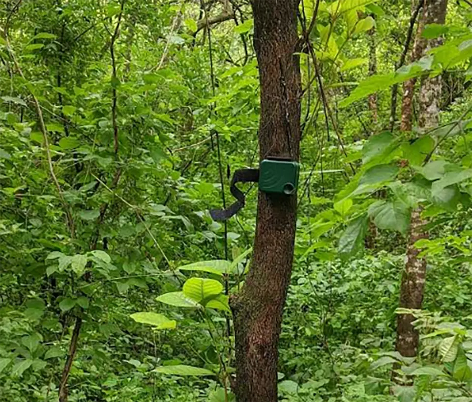
Researchers at the ETH Zurich Institute of Integrative Biology used over 16,000 hours of passive acoustic recordings to assess how well Costa Rica’s Payment for Ecosystem Services (PES) program restores biodiversity. By analyzing soundscapes from 119 sites across the Nicoya Peninsula, they compared degraded pastures, naturally regenerating PES forests and protected reference forests. Forests allowed to regenerate under PES now sound much closer to intact forests than to pasture. This is especially true at dusk when the acoustic profile is almost indistinguishable from that of national parks. This indicates a strong recovery of animal life and ecosystem complexity. In contrast, monoculture timber plantations (mainly teak) show only a partial recovery, exhibiting a quieter and less diverse soundscape. The study relied on passive acoustic monitoring and statistical analysis, enabling non-the invasive measurement of biodiversity through sound. Findings provide empirical evidence that PES schemes can restore more than just tree cover (
Connecting landscapes through data in Florida
Florida Ecological Connectivity Planning Viewer, University of Florida Center for Landscape Conservation Planning, GeoPlan Center
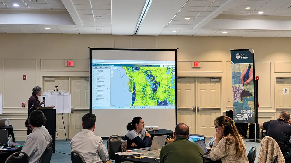
Florida's rapid population growth has increased pressure on natural landscapes, making it more challenging to conserve the ecological connections that support biodiversity, clean water, and other ecosystem services. To help address this challenge, researchers at the University of Florida Center for Landscape Conservation Planning, with support from the University of Florida GeoPlan Center, developed the Florida Ecological Connectivity Planning Viewer (EcoCon), a publicly accessible, web-based decision-support tool. EcoCon brings together statewide ecological connectivity models alongside information on conservation lands, water resources, agriculture, land use and other environmental priorities in a single interactive map. This allows users to visualize connected landscapes and understand how proposed land-use changes may affect ecological connectivity. By making decades of conservation science accessible to planners, agencies, conservation organizations and landowners, EcoCon supports more informed and coordinated decision-making. It helps identify opportunities to protect the natural systems that sustain wildlife and people as an integral part of the land use planning and design process. The platform also supports statewide initiatives including the Florida Wildlife Corridor by helping identify and protect the landscape connections that maintain biodiversity and ecosystem resilience (
Small satellites, big impact on land restoration
King Abdullah University of Science and Technology (KAUST) and Spire Global
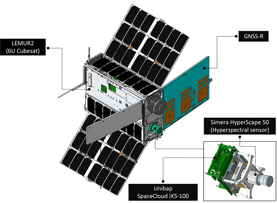
The KAUST CubeSat, developed in partnership with Spire Global, is a 6U research satellite designed to collect high-resolution Earth observation data for the purpose of ecosystem monitoring over a three-year mission. Equipped with a hyperspectral imaging sensor (capturing 30+ spectral bands) and GNSS reflectometry (GNSS-R), the satellite can assess vegetation health, soil conditions and environmental variables like soil moisture. Its processing and AI capabilities enable faster analysis. For land restoration, it provides detailed baselines and the continuous monitoring of rangelands, soils and vegetation. It can map degraded areas, track changes in plant cover and evaluate the impact of restoration or land management strategies over time. By combining hyperspectral data with GNSS signals, it provides a fuller picture of ecosystem health than does traditional imaging alone. The satellite supports initiatives like the Saudi Green Initiative by helping researchers measure progress and better target and refine interventions (
The following collection of technologies is divided into three groups: Proven technologies have been on the market for some time and hence are well tested, Frontier technologies are available but relatively new, while Horizon technologies are close to being available but still under development.
Proven technology solutions
Integrated platform for eDNA-powered biodiversity monitoring and nature intelligence
NatureMetrics
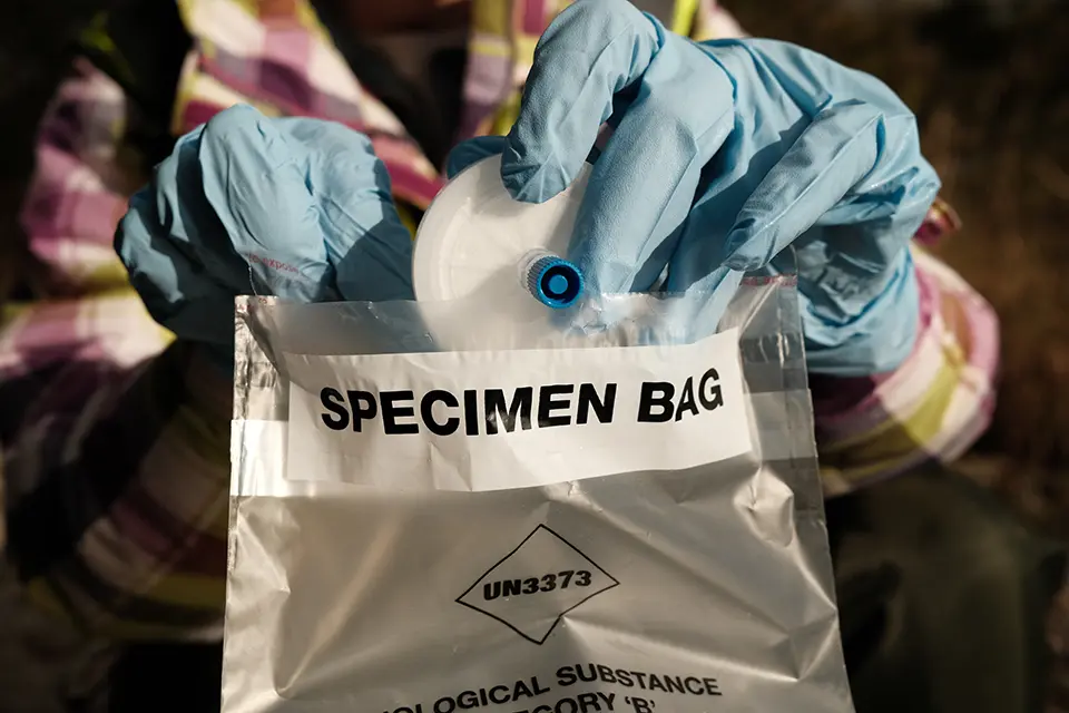
NatureMetrics uses environmental DNA (eDNA) technology to monitor biodiversity by analyzing tiny DNA traces left by organisms in water, soil or sediment. Field teams collect samples and send them to NatureMetrics’ labs, where DNA metabarcoding and molecular analysis identify hundreds or thousands of species from microbes to mammals without needing direct sightings. This approach reveals hard-to-detect, rare or cryptic species and provides comprehensive biodiversity profiles. The results are fed into the NatureMetrics Intelligence Platform, which turns complex data into standardized biodiversity metrics and indicators that track species presence, habitat health and trends over time. Additional tools like Habitat Insights use geospatial data to assess land cover, habitat connectivity and vegetation condition alongside eDNA results, offering a more complete view of ecosystem function. These solutions support conservation planning, restoration tracking, risk assessment and reporting for regulatory frameworks and corporate sustainability strategies.
Technological maturity: Proven
Contracting type: For service contract
Technology level: High
Place of origin: United Kingdom
Availability: Worldwide
Contact: WIPO GREEN Database
DNA metabarcoding services
AllGenetics
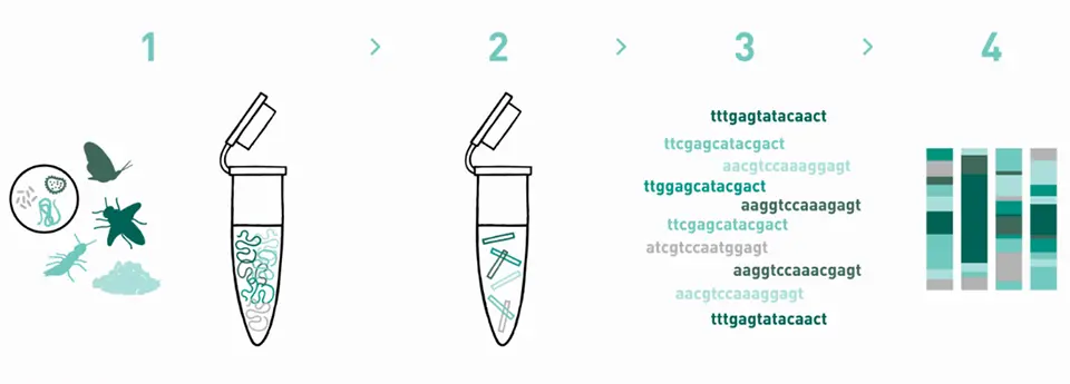
AllGenetics specializes in DNA metabarcoding of environmental DNA (eDNA) for monitoringbiodiversity across ecosystems. Its service bypasses traditional specimen sorting by extracting DNA directly from environmental samples like water, soil, sediment or bulk organism samples and using high-throughput sequencing to detect many species at once. It amplify universal or custom DNA “barcode” regions and sequences them in order to generate a taxonomic inventory showing what organisms are present and in what relative abundance. AllGenetics also handles the bioinformatics analysis needed to clean, classify and visualize sequence data, while tailoring workflows for different taxonomic groups and sample types. This approach is non-invasive, cost-effective and sensitive enough to detect rare or cryptic species, making it well-suited for scalable ecosystem biomonitoring, conservation and environmental assessment projects.
Technological maturity: Proven
Contracting type: For service contract
Technology level: High
Place of origin: Spain
Availability: Worldwide
Contact: WIPO GREEN Database
Cloud-based map-driven data system to track invasive species
NatureServe

iMapInvasives is a cloud-based, map-driven data system used to track and manage invasive species across landscapes. It allows scientists, land managers and citizen-observers to upload georeferenced sightings (often via a mobile device), creating a shared real-time database of where invasive species are occurring. Built on GIS technology, the platform supports mapping, data analysis and reporting, helping identify high-risk areas, track control efforts and prioritize management actions. By integrating observations across regions and enabling rapid data sharing, iMapInvasives improves the early detection of and coordinated response to biological invasions.
Technological maturity: Proven
Contracting type: For subscription
Technology level: High
Place of origin: United Kingdom
Availability: Northern America
Contact: WIPO GREEN Database
Animal movement tracking platform
Max Planck Institute of Animal Behavior
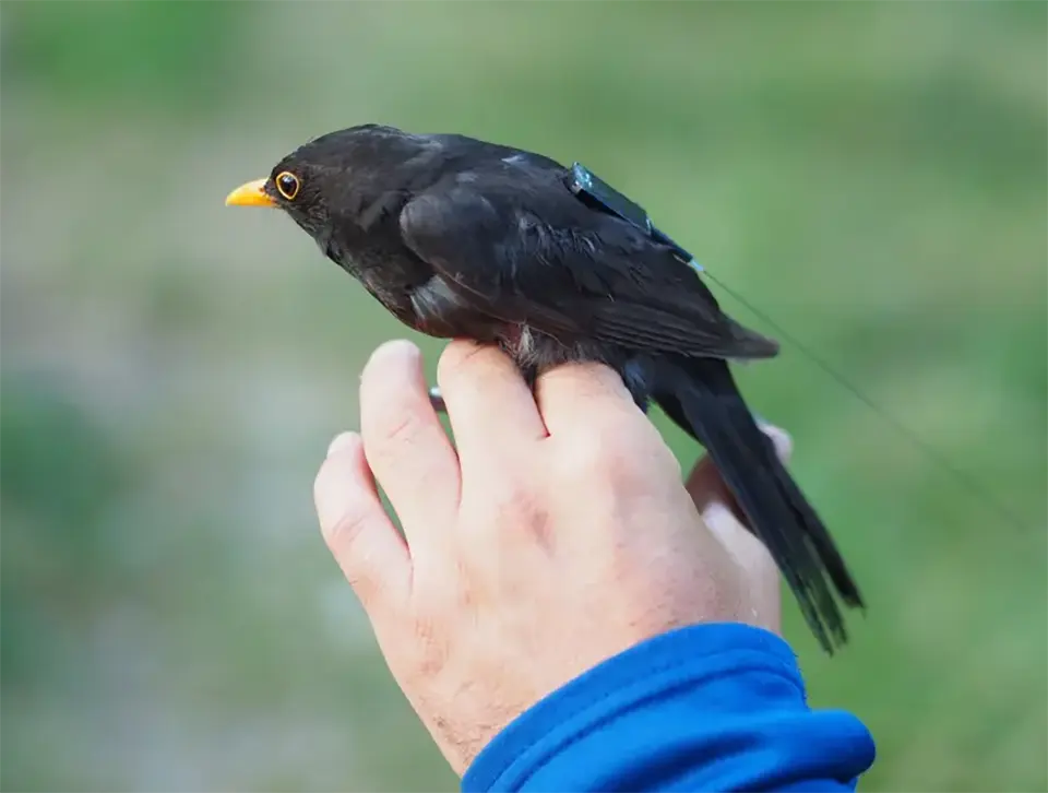
Movebank is a global online platform for managing, sharing, analyzing and archiving animal tracking and bio-logging data. Researchers attach GPS tags and other sensors to animals, then upload movement and behavioral data to the platform where it can be visualized, standardized and analyzed across species and regions. The system helps scientists understand migration routes, habitat use, species interactions and responses to environmental pressures such as climate change, habitat fragmentation, biodiversity loss and disease spread. Movebank also enables collaboration between researchers and conservation organizations by providing a shared global database of animal movement data.
Technological maturity: Proven
Contracting type: Open access research platform
Technology level: Medium
Place of origin: Germany
Availability: Worldwide
Contact: WIPO GREEN Database
Satellite-based wildlife tracking system
Max Planck Institute of Animal Behavior
ICARUS (International Cooperation for Animal Research Using Space) is a global satellite wildlife tracking system that uses miniature animal-mounted sensors and space-based receivers to monitor animal movements and environmental conditions in near real time across the planet. Small GPS-enabled tags attached to birds, bats, insects, turtles and other species collect data about location, migration, behavior, temperature and atmospheric conditions. As satellites pass overhead, the tags transmit information to space-based receivers, allowing researchers to study migration patterns, habitat use, biodiversity loss, ecosystem change, disease spread and climate impacts at the global scale.
Technological maturity: Proven
Contracting type: International scientific research infrastructure
Technology level: Medium
Place of origin: Germany
Availability: Worldwide
Contact: WIPO GREEN Database
Open source connectivity modeling tool
Circuitscape

Circuitscape is an open-source connectivity modeling tool used in conservation planning to identify how animals, plants, or ecological processes move across fragmented landscapes. It applies principles from electrical circuit theory to ecology by treating landscapes as conductive surfaces: areas that are easy for species to cross have a low “resistance,” whereas roads, cities or degraded habitats have a high resistance. The software simulates movement similarly to how an electrical current flows through a circuit, analyzing many possible pathways simultaneously rather than identifying only a single optimal route. This allows researchers to map wildlife corridors, migration routes and habitat bottlenecks, as well as identify restoration priorities. Circuitscape is widely used to support biodiversity conservation, landscape restoration and climate adaptation planning, including identifying areas where habitat connectivity is most vulnerable or where restoration efforts could have the greatest ecological impact.
Technological maturity: Proven
Contracting type: Open source
Technology level: Medium
Place of origin: United States
Availability: Worldwide
Contact: WIPO GREEN Database
Open-source GIS-based conservation planning tool for wildlife corridors
Linkage Mapper
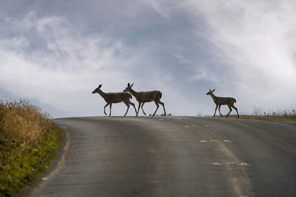
Linkage Mapper is an open-source, GIS-based conservation planning tool used to identify and map wildlife corridors between important habitat areas. It works by combining maps of core habitats with “resistance” layers that represent how difficult different landscape features, such as roads, cities, steep terrain or degraded land, are for species to traverse. The software then calculates the least-cost pathways and broader corridors that animals are most likely to use when moving between habitats. Additional modules can identify climate-resilient routes, ecological bottlenecks (“pinch points”) and barriers where restoration or mitigation could most improve connectivity. Some modules integrate with Circuitscape, using circuit theory to model multiple potential movement pathways rather than a single least-cost route. Linkage Mapper is widely used in biodiversity conservation, restoration planning and climate adaptation to help prioritize habitats and ecological connections at the regional scale.
Technological maturity: Proven
Contracting type: Open source
Technology level: Medium
Place of origin: United States
Availability: Worldwide
Contact: WIPO GREEN Database
Soil-plant spectral technology
CIFOR-ICRAF Soil and Land Health Laboratory
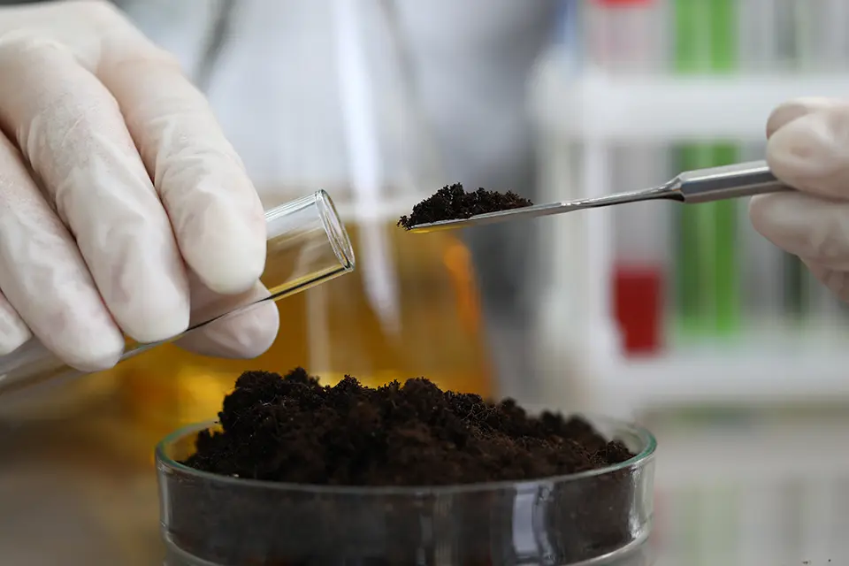
The soil–plant spectral technology developed by CIFOR-ICRAF and partners uses infrared and X-ray spectroscopy to rapidly and cost-effectively analyze soil carbon, nitrogen, minerals and plant properties, replacing slower traditional “wet chemistry” methods. Combined with satellite data, it enables high-resolution soil health and land management mapping. Since pioneering large-scale “dry” spectral analysis in Africa through the Africa Soil Information Service in 2009, the Nairobi-based reference laboratory has grown into a global hub supporting more than 30 regional laboratories. The center provides mid-infrared spectral prediction services, open access data, technical consultancy and calibration support, while contributing to international initiatives such as the Food and Agriculture Organization’s Global Soil Laboratory Network (GLOSOLAN). A new 2026 online prediction engine further streamlines national soil analysis systems.
Technological maturity: Proven
Contracting type: Fee-for-service
Technology level: Medium
Place of origin: Kenya
Availability: Worldwide
Contact: WIPO GREEN Database
Low-energy electrokinetic remediation of contaminated soils
EKOGRID Oy
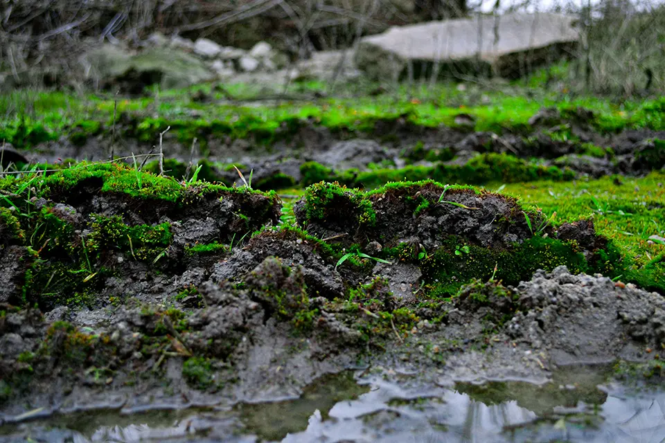
EKOGRID™ is a patented electrokinetic remediation technology for treating organic pollutants in contaminated soil, groundwater and sediment. The system applies optimized, low-voltage electrical pulses through electrodes, with alternating polarity generating electrokinetic and electro-osmotic movement of pore water and increasing contaminant availability for bioremediation, chemical degradation or removal. Electrochemical reactions at soil-particle surfaces can also generate reactive species and oxygen that contribute to pollutant breakdown. The system is designed to operate with relatively low energy consumption as reactions occur throughout the soil matrix between electrodes, rather than only around the electrodes. The technology can be combined with complementary remediation methods, with treatment monitored through changes in pollutant concentrations, oxidation-reduction potential (ORP) and dissolved oxygen levels.
Technological maturity: Proven
Contracting type: For sale or contract
Technology level: High
Place of origin: Finland
Availability: Worldwide
Contact: WIPO GREEN Database
Moss-based soil and ecosystem restoration
Code of Nature
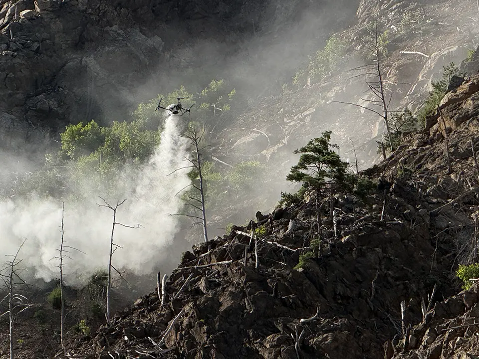
Mosby is a moss-based soil restoration technology designed to support ecological recovery on wildfire-damaged, reclaimed and other degraded soils. The system combines selected moss spores in liquid form with a site-specific nutrient solution, plant growth hormone components and proprietary symbiotic microorganisms. The mixture is diluted and sprayed onto degraded soil surfaces, where the moss is intended to establish during the early stages of restoration. As moss develops, it can help stabilize exposed soil, retain moisture and contribute to the development of conditions suitable for subsequent vegetation establishment. The microbial component is intended to support nutrient cycling and soil fertility during recovery. The technology can be adapted to target-site conditions by adjusting the composition and application rate. It is designed as a relatively simple, spray-based approach to initiating soil and ecosystem recovery.
Technological maturity: Proven
Contracting type: For sale or contract
Technology level: Medium
Place of origin: Republic of Korea
Availability: Worldwide
Contact: WIPO GREEN Database
Frontier technology solutions
Geospatial AI engine for mangrove restoration
Blue Forest
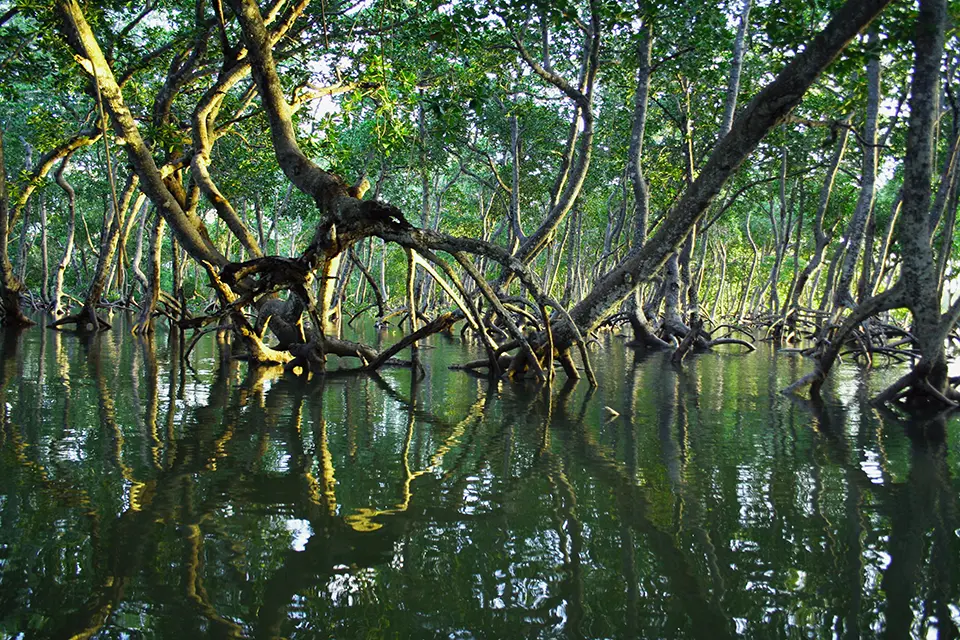
Carbon Hawk is a geospatial AI engine that maps and forecasts mangrove forest loss by stacking seven environmental and satellite data layers inside Google Earth Engine using the GEEmap Python interface. It combines satellite imagery (including Landsat 8, Sentinel data, Global Mangrove Forest Distribution, Hansen forest data, and Primary Humid Tropical Forest datasets) with terrain and infrastructure layers such as elevation models, slope and roads. By cross-analyzing these parameters, the system distinguishes mangroves from other forest types with a higher accuracy than legacy maps and identifies patterns linked to degradation risk. The engine updates every 16 days, ensuring near real-time monitoring. This layered, continuously refreshed modeling approach enables the precise detection of “mangroves at risk,” allowing for intervention before forest loss occurs.
Technological maturity: Frontier
Contracting type: Subscription platform
Technology level: High
Place of origin: United Arab Emirates
Availability: Worldwide
Contact: WIPO GREEN Database
Digital seed collection and marketplace platform for native restoration seeds
Seedark

Squiirrel is a purpose-built mobile app and digital marketplace for seed collection and procurement. The app lets seed collectors capture detailed, GPS-verified data (location, species, photos, etc.) during collection and to store or list their collections for buyers. Each seed record becomes traceable, often via QR codes, improving transparency. Restoration practitioners, nurseries and growers can post seed demand and procure native stock easily through the marketplace, creating a better supply–demand alignment and reducing friction in sourcing seeds for projects. Squiirrel enhances data accuracy, traceability and decision-making across the seed ecosystem.
Technological maturity: Frontier
Contracting type: Subscription platform
Technology level: Medium
Place of origin: Canada
Availability: Worldwide
Contact: WIPO GREEN Database
Biodiversity monitoring software
Okala

Okala’s biodiversity monitoring technology is an AI-driven platform that brings together data obtained from camera traps, bioacoustics, environmental DNA (eDNA), satellite imagery and field surveys into one central dashboard. The system uses machine learning to automate species identification, risk screening and trend analysis, backed by expert ecological review, to enable species and habitat monitoring at scale. It also includes mobile field tools for accurate data collection in remote areas and produces transparent, audit-ready outputs aligned with global standards such as Taskforce on Nature-related Financial Disclosures (TNFD) and European Union Deforestation Regulation (EUDR). The goal of the platform is to simplify complex biodiversity monitoring, speed up reporting and help businesses, governments and NGOs demonstrate environmental impact and meet regulatory requirements.
Technological maturity: Frontier
Contracting type: Subscription platform
Technology level: High
Place of origin: United Kingdom
Availability: Worldwide
Contact: WIPO GREEN Database
3D digital twin biodiversity monitoring
Hexagon/R-evolution
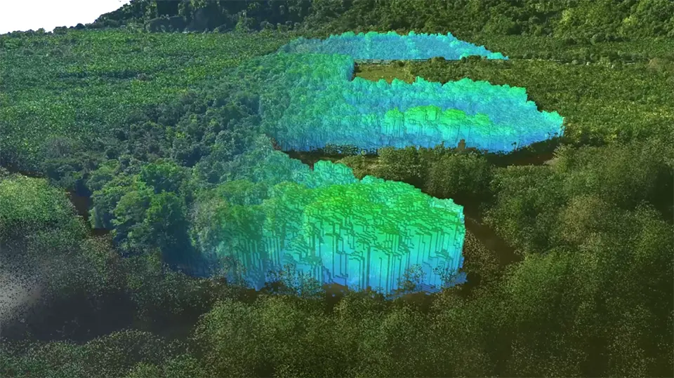
Green Cubes is a biodiversity monitoring solution that creates highly detailed 3D digital twins of terrestrial ecosystems, visualized through a single pane of glass in the Green Cubes platform. Using airborne and terrestrial LiDAR and imaging, acoustic monitoring, camera traps, and AI-powered geospatial analytics and processing, Green Cubes merge and visual multi-dimensional data, making nature visible and valuable. The system tracks biodiversity through ecosystem extent, condition and state of species over time, to help companies, governments and researchers improve biodiversity assessments, validate nature-based projects, and support compliance with global reporting frameworks.such as the Taskforce on Nature-related Financial Disclosures (TNFD).
Technological maturity: Frontier
Contracting type: Subscription platform
Technology level: High
Place of origin: Sweden
Availability: Worldwide
Contact: WIPO GREEN Database
On-site sensor-driven biodiversity monitoring sensors and platform
Hula Earth

Hula Earth is a biodiversity monitoring and MRV (monitoring, reporting, verification) platform combining proprietary IoT sensors with satellite data and AI analytics to provide continuous, real-time ecosystem insights. The company’s key product is the Hula BioT, a solar-powered, low-maintenance IoT biodiversity sensor able to detect wildlife (e.g., bird and insect acoustic activity), air quality and other environmental parameters on site. These field data streams are integrated with earth observation layers obtained from satellites to produce a landscape-wide picture of ecosystem health. This feeds into the Hula Platform dashboard, which provides species reports, metrics, alerts and reporting outputs aligned with global standards.
Technological maturity: Frontier
Contracting type: Subscription platform
Technology level: High
Place of origin: Germany
Availability: Worldwide
Contact: WIPO GREEN Database
Open-source smart camera trap system
wildlife.ai
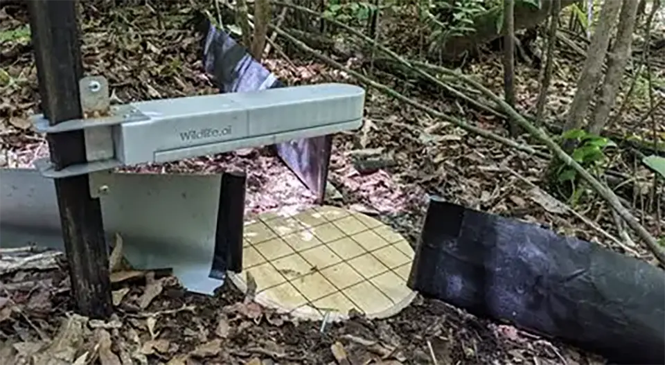
Wildlife Watcher is an AI-powered, open source, smart camera trap system designed for wildlife monitoring and biodiversity conservation. The device uses embedded machine learning to automatically detect and identify animal species in real time directly on the camera unit, reducing the need for manual image review and field retrieval. It is specifically designed to monitor difficult-to-study species, such as reptiles, amphibians, insects and small mammals, that are often poorly captured by conventional camera traps. The low-power system combines motion sensing, image recognition and wireless data transmission to send rapid alerts and ecological monitoring data from remote environments. The hardware is designed to be modular and partially 3D-printable, supporting flexible deployment and adaptation for different conservation contexts.
Technological maturity: Frontier
Contracting type: Open source
Technology level: High
Place of origin: New Zealand
Availability: Worldwide
Contact: WIPO GREEN Database
AI-powered bird and bat monitoring platform
Spoor

Spoor is an AI-powered biodiversity monitoring platform designed to track and analyze bird and bat activity around wind energy infrastructure. The system combines high-resolution video cameras with computer vision and machine learning algorithms to automatically detect, track and identify flying species in real time, including at night and in poor weather conditions. The platform generates continuous ecological data on flight paths, movement patterns, species presence, flight heights and turbine interactions, helping wind developers and regulators assess collision risks and biodiversity impacts more accurately than a traditional field survey. Spoor supports environmental impact assessments, permitting, mitigation planning and operational monitoring for onshore and offshore wind projects.
Technological maturity: Frontier
Contracting type: Subscription-based SaaS platform
Technology level: High
Place of origin: Norway
Availability: Worldwide
Contact: WIPO GREEN Database
Surface erosion stabilization (water and dust)
Medusoil
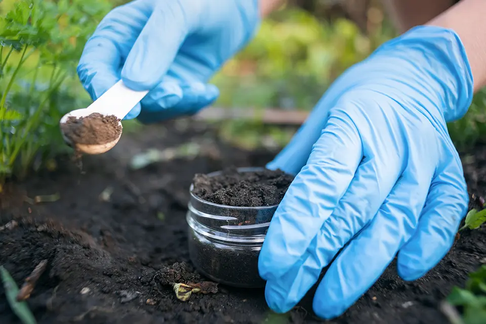
Medusoil develops bio-based soil stabilization and erosion-control technologies using biomineralization and biocementation. Instead of conventional cement or chemical binders, the company uses naturally occurring microorganisms and bio-based mineral agents to bind soil particles together, creating low-carbon alternatives for construction, land restoration, slope stabilization and infrastructure protection. Its technologies can strengthen soils, reduce erosion, stabilize riverbanks and slopes, mitigate dust and improve resilience against landslides and other climate-related risks, while lowering CO2emissions by more than 50 percent compared to traditional cement-based methods. Medusoil’s systems are designed to be minimally invasive, scalable and compatible with circular construction approaches, including the reuse of excavation and demolition materials. The technology has been tested in projects involving erosion control, road reinforcement and ecological restoration across Europe and other regions.
Technological maturity: Frontier
Contracting type: For service contract or licensing
Technology level: High
Place of origin: Switzerland
Availability: Worldwide
Contact: WIPO GREEN Database
Mycorrhizal fungi pellets
Rhizocore Technologies
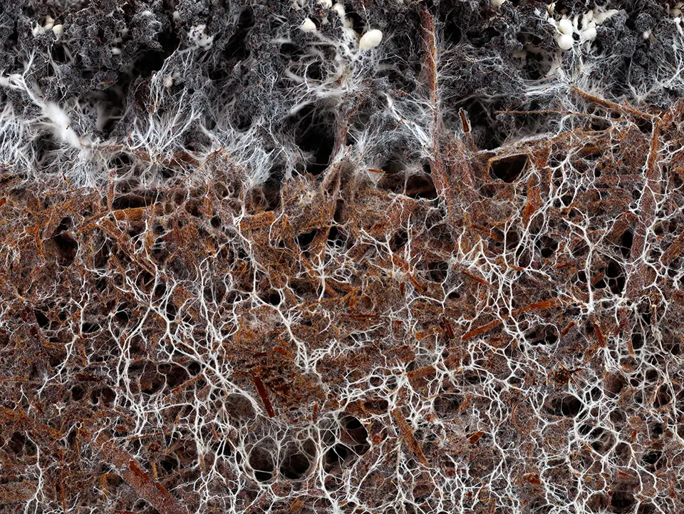
Rhizocore Technologies harnesses locally-adapted mycorrhizal fungi to improve forest restoration outcomes. Forest soils often lose their natural fungal networks after disturbance, leaving young trees struggling to access nutrients and water. Rhizocore grows and applies site-specific ectomycorrhizal fungi in proprietary RhizoPellets™ that form symbiotic networks with tree roots, boosting nutrient and water uptake, enhancing drought resilience and increasing sapling survival, growth rates and disease resistance. This strengthens overall forest health, accelerates reforestation success, supports soil structure and biodiversity, and increases carbon sequestration. By restoring critical belowground biological networks, Rhizocore enables tree establishment on degraded or challenging lands, helping forests withstand environmental stressors, including prolonged dry periods.
Technological maturity: Frontier
Contracting type: For sale
Technology level: High
Place of origin: United Kingdom
Availability: Worldwide
Contact: WIPO GREEN Database
AI-powered mobile and web app to identify invasive plant species
Centre for Invasive Species Solutions, CSIRO, the Atlas of Living Australia, the NSW Department of Primary Industries and Regional Development and the South Australian, Queensland and Victorian Governments

WeedScan is a free, AI-powered mobile and web application designed to identify, record and manage invasive plant species across Australia. Built using a machine learning model trained on over 120,000 images, it can recognize more than 450 priority weeds by analyzing photos uploaded by users and providing rapid identification with confidence levels. Beyond identification, the app allows users to log sightings, share data and alert authorities to new infestations. It also provides location-specific management guidance, supporting coordinated weed control efforts.
Technological maturity: Frontier
Contracting type: Open source
Technology level: High
Place of origin: Australia
Availability: Australia
Contact: WIPO GREEN Database
Wildlife connectivity toolbox
Conservation Corridor (IUCN, Center for Large Landscape Conservation, Michigan State University)
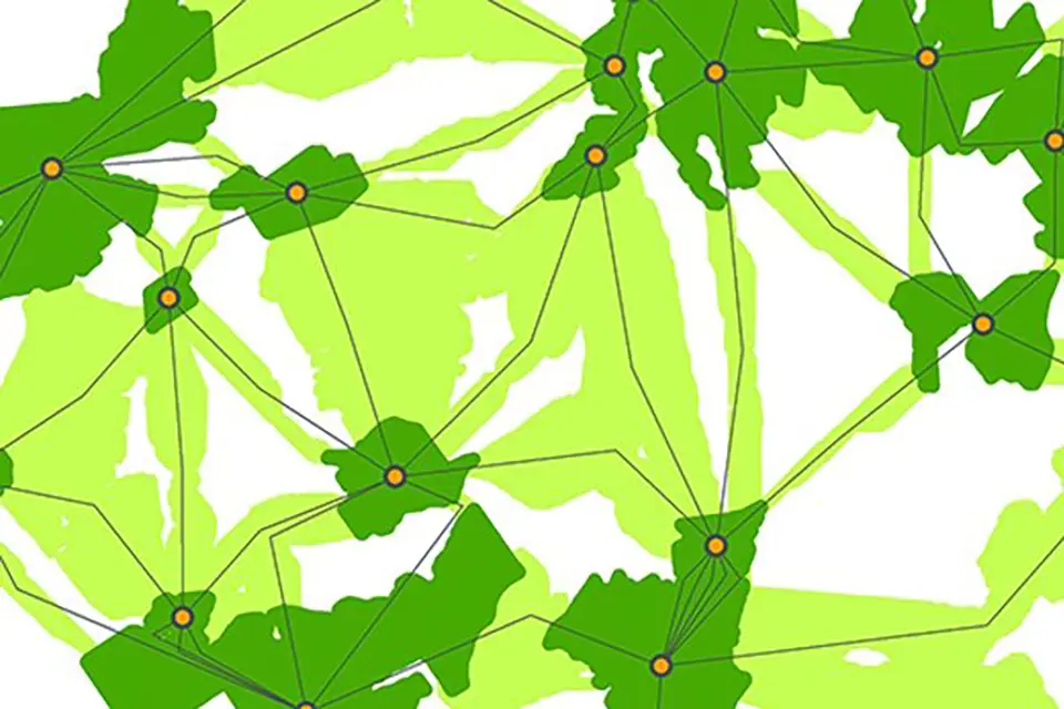
The connectivity toolbox is a set of geospatial and modeling tools for understanding and preserving how species move across landscapes. It combines spatial data, ecological knowledge and decision-support methods to identify, protect and restore wildlife corridors. Tools include: (1) mapping tools like GIS for defining habitats and barriers such as roads or development; (2) modeling tools that simulate how animals move using concepts like resistance surfaces; (3) corridor identification tools for locating and ranking the most important connections between habitat patches; and (4) decision-support tools for comparing scenarios such as conservation actions or future development. Some tools also incorporate real-world tracking data for validating models and monitoring changes over time.
Technological maturity: Frontier
Contracting type: Open source/for sale
Technology level: High
Place of origin: United States
Availability: Worldwide
Contact: WIPO GREEN Database
Global mapping platform for mycorrhizal fungal networks
Society for the Protection of Underground Networks (SPUN)
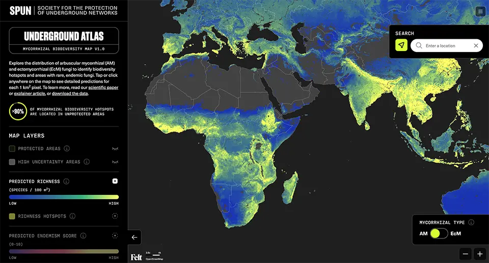
The Underground Atlas, developed with data partners GlobalFungi and the Global Soil Mycobiome consortium, is a global mapping platform that models the distribution and biodiversity of underground mycorrhizal fungal networks. Using billions of fungal DNA sequences collected from soils across more than 130 countries, combined with machine learning and geospatial analysis, the system predicts fungal biodiversity and identifies ecological hotspots at a high spatial resolution. Underground fungal networks are critical for nutrient cycling, soil formation, carbon storage, water retention and plant health, yet most remain outside protected areas. The platform helps researchers, policymakers and conservation groups identify vulnerable belowground ecosystems and integrate soil biodiversity into restoration, climate adaptation and conservation planning.
Technological maturity: Frontier
Contracting type: Open source
Technology level: High
Place of origin: United States
Availability: Worldwide
Contact: WIPO GREEN Database
Horizon technology solutions
Seed dart system
Inverto Earth
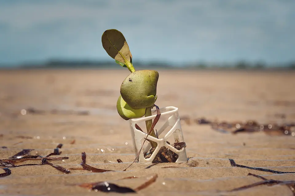
Inverto Earth has developed a patent-pending “seed-dart” system to make coastal restoration (especially mangrove planting) more efficient, reliable and scalable. A seed dart is a biodegradable capsule made of certified marine-friendly material that houses a mangrove seed plus nutrients to support early root growth. The capsule is designed to anchor the seed securely into coastal mud, protecting it at its most vulnerable stage when it would otherwise be washed away by tides, eaten by animals or fail to take root. This significantly improves survival rates compared to direct seeding or traditional nursery-raised approaches. To reach large and often remote areas quickly, Inverto uses drone-mounted launch systems able to plant thousands of seed darts per flight with high precision, cutting time and cost by up to ~50 percent for sites larger than 100 hectares compared to manual planting.
Technological maturity: Horizon
Contracting type: N/A
Technology level: High
Place of origin: Switzerland
Availability: Under development
Contact: WIPO GREEN Database
Biocrust capsules for degraded-land restoration
Northern Arizona University (NAU)
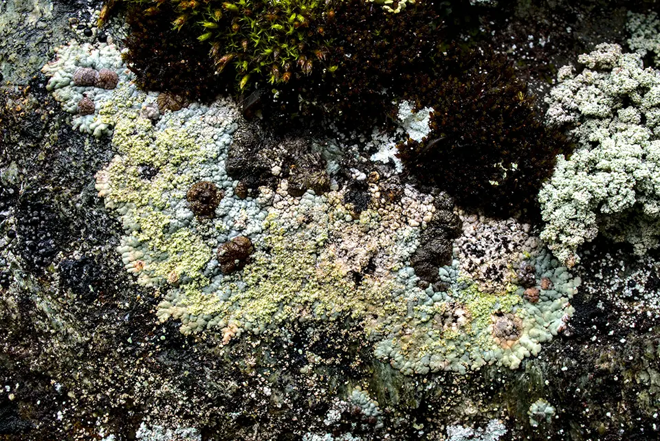
Biocrust capsules are a novel delivery technology designed to restore degraded drylands by establishing biological soil crusts (biocrusts) on bare or eroded ground. The technology encapsulates field-collected or cultivated communities of cyanobacteria, mosses, lichens and other microorganisms in biodegradable capsules that protect the inoculum during handling and deployment. Once released, the capsules break down and allow the organisms to establish on the soil surface, where biocrusts can bind soil particles, reduce erosion, retain moisture, capture nutrients and contribute to soil fertility. By rebuilding these living soil communities, the technology can also create more favourable conditions for native plants and support soil biodiversity. A 2026 study tested vegetable-cellulose and tapioca capsules containing biocrust inoculum, seeds and moisture-retaining additives. Field trials are underway in the Sonoran and Mojave Deserts, while testing in additional ecosystems will help assess their effectiveness at broader scales.
Technological maturity: Horizon
Contracting type: N/A
Technology level: High
Place of origin: United States
Availability: Under development
Contact: WIPO GREEN Database
2.3 Scaling land-based restoration
Why scaling restoration is difficult
Global land restoration ambitions are rapidly expanding. Initiatives such as the United Nations Decade on Restoration, the Bonn Challenge, AFR100, the UNCCD and national restoration targets, together with carbon removal targets spurred by a growing recognition derived from Intergovernmental Panel on Climate Change (IPCC) scenarios that carbon removal will likely be necessary to avert the worst impacts of climate change (see Chapter 1, Introduction), have pushed restoration firmly onto the global agenda. However, scaling restoration remains difficult.
Restoring ecosystems at the planetary scale requires proof that restoration is real, measurable, durable and financeable. It is largely known what to do. This chapter has shown that many land restoration methods already exist. The challenge now is scaling them, which requires finance, coordination, local participation, governance, MRV and long-term management. Restoration outcomes are also inherently difficult to measure. Ecosystems are dynamic, carbon changes are gradual and difficult to detect, biodiversity is multidimensional, impacts vary across landscapes, and permanence is uncertain. Yet carbon and biodiversity finance depend on credibility; investors and markets require proof that outcomes are real.
Restoring ecosystems at the planetary scale requires proof that restoration is real, measurable, durable and financeable
Digital technologies are emerging to address this challenge. As demonstrated throughout other chapters, remote sensing, AI, sensors, modeling, blockchain and integrated monitoring platforms are becoming increasingly prevalent across diverse sectors and ecosystems. To scale ecosystem restoration, these technologies are increasingly being used not only to monitor ecosystems, but also to build trust, support measurement and verification, and enable carbon and emerging biodiversity markets to function at scale. To understand how these systems operate, it is first necessary to understand MRV and carbon market infrastructure.
A quick primer: how carbon markets and MRV work
Measurement, reporting and verification (MRV) is a process used to measure, report and independently verify GHG emissions reductions resulting from climate activities. It ensures that carbon credits represent real, additional and permanent emission reductions, allowing them to be converted into carbon credits (each representing one tonne of CO2equivalent) with a financial value. MRV is essential for accessing climate finance, supporting carbon markets and tracking progress toward countries’ climate targets under the Paris Agreement, although it can be complex to implement (
Standards act as a “stamp of approval” for credit quality. In compliance markets, primary standards are set by governmental agencies or UN bodies (e.g., the Article 6.4 Mechanism), whereas the VCM relies on independent nonprofits, such as Verra (VCS) and Gold Standard, to certify projects. To ensure these voluntary credits are of a high-quality, oversight bodies like the Integrity Council for the Voluntary Carbon Market (ICVCM) (setting the rules for credits) and the Voluntary Carbon Markets Integrity Initiative (VCMI) (setting the rules for how companies use them) have become the global standard-setters.
It is widely believed by the IPCC, as well as by policymakers, practitioners and experts alike, that transparency is vital to the future success of carbon markets (
In carbon markets, strong MRV lowers the risk of over-crediting, makes additionality and permanence more defensible, and can reduce verification costs to broaden participation. Weak MRV protocols damage credit integrity, and ultimately may hinder restoration efforts from happening at all or from scaling and/or becoming profitable for local communities. Therefore, the sector is increasingly turning toward higher-resolution carbon maps, shared plot databases and digital MRV infrastructures.
The rise of digital MRV
Digital MRV is the next evolution of traditional MRV, using advanced digital technologies such as AI, satellite data, IoT sensors, big data analytics and blockchain to improve how emissions and sustainability impacts are tracked and verified. It aims to make MRV systems faster, cheaper, more transparent and more trustworthy to address long-standing issues of inefficiency, high costs and a lack of credibility. Beyond simply digitizing existing processes, digital MRV represents a system-wide integration of data, standards and stakeholders to support carbon markets and reduce risks like double-counting and greenwashing (
Digital MRV represents a system-wide integration of data, standards and stakeholders to support carbon markets and reduce risks like double-counting and greenwashing
Digital MRV infrastructures have advanced rapidly over recent years. Across the technologies included in this chapter, several capabilities complement each other. The foundation is based on data collection systems that range from remote sensing (satellites, aerial imagery) and field-based inputs (mobile apps, sensors, geotagging) to automated deployment tools (drones and mechanized restoration). These technologies are then fed into data processing and intelligence layers, where machine learning, ecological models and analytics translate data into measurable indicators such as carbon, biomass and ecosystem health. Digital platforms and management systems are the top-down technologies that integrate various functions and standardize reporting, as well as connecting stakeholders across the diverse parts of the process. Finally, a new wave of technologies is building trust through new verification systems. They include distributed ledgers, audit systems and independent rating or validation tools that ensure transparency and traceability.
How digital land restoration systems work – from planting trees to continuous verification
For land-based restoration, MRV typically combines field plots for calibration with high-resolution satellite imagery and AI-enabled analysis, along with ecosystem-specific tools such as drones, LiDAR, radar, hyperspectral imagery and proximal sensors. Remote sensing, high-resolution satellite imagery and AI are increasingly being used alongside field measurements to provide more accurate, efficient and near-real-time monitoring at scale (
A restoration project begins by mapping degraded land using satellite imagery and ecological data. Algorithms help identify suitable species and planting locations. Drones or field teams plant trees, and each planting area is digitally logged (sometimes down to the level of individual trees or plots). Over time, satellites and occasional field data track growth, survival rates and biomass. That data is then automatically processed into carbon estimates. Rather than relying solely on periodic field assessments, these systems can provide more frequent updates on restoration performance. Finally, results are verified through a transparent system (sometimes with tamper-proof blockchain records) and carbon credits issued with a full data trail showing where, when and how the carbon was captured. This creates a traceable link between restoration activities on the ground and the carbon credits issued.
Several MRV flaws stem from broader questions of governance and system design. Technology therefore has an important role, but it is not a complete solution. Measurement and monitoring can be improved through satellite remote sensing and AI to help track deforestation, biomass and land use change, while reducing reliance on self-reported and modelled estimates. Digital MRV systems can improve transparency and consistency, while blockchain and registries can reduce double counting. Improved data and modeling can also strengthen baseline estimates, although they cannot eliminate uncertainty. Additionality, however, is not primarily a technical question, but a matter of judgment and governance. Likewise, technology can neither resolve weak incentives nor address concerns that offsets may delay emissions reductions elsewhere.
Soil carbon: the weak link in MRV
Despite rapid advances in digital MRV, soil carbon remains one of the weakest and most uncertain components of restoration monitoring. Estimates can differ by as much as 100 percent when using the popular current method of fixed-depth (FD) sampling, which can wrongly estimate soil carbon changes, because it ignores changes in soil bulk density (
Most soil sampling protocols sample at a too shallow depth; limiting sampling to 30 cm misses a large share of soil carbon and can overlook the redistribution of carbon deeper in the soil. Deeper sampling is more difficult, but sampling at 60 cm captures changes. Also, soil carbon changes are often small, slow and easily obscured – rendering short-term monitoring unreliable. Some researchers recommend using equivalent soil mass (ESM) instead of fixed depth, sampling at deeper levels and increasing sampling intensity to detect real changes, and improving standards and consistency for soil across carbon market protocols (
Soil carbon markets for smallholders are constrained by a trade-off between cost and accuracy, with no single monitoring method performing well on both counts. Scaling soil carbon markets requires blending low-cost technologies with better standards and local engagement (
The rise of nature technology platforms
Scaling land restoration is becoming less about simply planting more trees and more about building integrated digital systems able to measure, manage, finance and expand restoration efforts more effectively over time. This technology field remains highly fragmented, reflecting the complexity of the ecosystems themselves. Solutions range from satellite monitoring and eDNA analysis to restoration technologies, ecological modeling platforms and biodiversity market infrastructure. A notable shift is the growing integration of biodiversity and ecosystem data into business decision-making. Restoration platform technologies are increasingly being used not only for conservation, but also for corporate reporting, risk assessment, restoration planning and emerging biodiversity and carbon markets (
Scaling land restoration is becoming less about simply planting more trees and more about building integrated digital systems able to measure, manage, finance and expand restoration efforts more effectively over time
Early platforms (with players like Grow-Trees.com – see Proven technology solutions) focused on digitizing participation and basic tracking. But the field has quickly evolved into integrated systems combining site selection, automated deployment using drones, seed technologies and continuous monitoring. Platforms like Vibrant Planet, Restor, and re.green represent a new class of restoration technology that uses satellite data, remote sensing, AI and ecological modeling to make ecosystems measurable, monitorable and actionable at scale. They range from corporate risk assessment and land-use planning to restoration and ecosystem monetization. Blockchain or similar distributed ledgers are used to prevent double counting and link verification directly with carbon or biodiversity credits. They all translate complex environmental data into usable insights, decisions or financial mechanisms. The contribution they are making is to reduce information gaps, ultimately enabling better decision-making. In some cases, they are also introducing new ways of financing conservation. But they primarily address data and coordination challenges. For the reasons discussed in Box 2.6, AI use by these platforms – and for MRV in general – should be undertaken with due caution.
Another marked trend is that some restoration platforms now manage the entire process from seed selection and nursery production through to planting and long-term monitoring, helping improve consistency and reduce project risks. There is also a growing connection between restoration projects and supply-chain monitoring, with platforms increasingly tracking the broader land-use impacts linked to production and sourcing activities. Overall, restoration is becoming increasingly data-driven and continuously measured and verified, which helps connect restoration projects to financing and investment systems, making it easier to scale them environmentally, economically and institutionally.
Public and multilateral digital infrastructure for ecosystem monitoring
In addition to startups, global public databases and infrastructure are becoming increasingly available. Global Forest Watch is an online platform hosted by the WRI that uses satellite imagery, cloud computing and machine learning to process and deliver near-real-time data on forest cover and change. The platform aggregates satellite imagery, national forest inventories and field observations to map forest cover, loss and gain, as well as fires, using algorithms developed by the University of Maryland and tools like Global Land Analysis and Discovery (GLAD) alerts to detect and flag deforestation events on a near-real-time basis. Users can analyze trends, overlay custom spatial data and export insights for decision-making. Such transparency tool enables governments, companies and researchers to monitor forests and support global initiatives like the UN Reducing Emissions from Deforestation and Forest Degradation (REDD+) Programme and zero-deforestation commitments (
Digital Earth Africa is a pan-African Earth observation platform that transforms open satellite imagery into environmental data ready for analysis by governments and land managers across Africa. Like other platforms, it uses satellite data obtained from Landsat and Sentinel missions, democratizing access to high-quality Earth observation data and analytics across the continent. This enables countries and practitioners to conduct environmental monitoring and restoration planning without requiring extensive in-house geospatial infrastructure (
Other global platforms, like the Copernicus program and SERVIR, function as open, publicly-funded systems that provide free, high-quality Earth observation data and tools to users worldwide. Copernicus delivers continuous satellite data (e.g., from Sentinel missions) on land, atmosphere and oceans (
Beyond carbon: nature finance and biodiversity credits
The same digital infrastructures described above are now expanding beyond carbon markets into broader forms of nature finance. Biodiversity credits are an attempt to do for nature what carbon credits have done for the climate – create a tradable unit that finances desirable ecological outcomes. A biodiversity credit represents measurable improvement in biodiversity at a specific site (habitat quality, species richness, ecosystem integrity). Unlike carbon (1 tonne CO2=universal unit), biodiversity is location-specific and multidimensional, which makes standardization much harder.
Biodiversity credits are an attempt to do for nature what carbon credits have done for the climate – create a tradable unit that finances desirable ecological outcomes
Since 2022, biodiversity credits have gained attention as a tool for scaling private finance for biodiversity gains. But a clear definition has yet to be established. The Kunming-Montreal Global Biodiversity Framework (KMGBF) outlines a plan to stop and reverse biodiversity loss by 2030. One of its 23 targets – Target 18 – calls on governments to cut harmful incentives and expand positive ones that support the conservation and sustainable use of biodiversity (
Several questions face the development of biodiversity credits. One of the most important is whether biodiversity can be simplified into tradable units without losing integrity. Nature (see Box 2.8 in relation to the EU proposal) and biodiversity credits, can neither come to fruition nor function without measurement; thus, technology is foundational. Monitoring, as elsewhere, is done using satellite remote sensing, LiDAR, biodiversity sensors (acoustic, camera traps), drones, IoT sensors and AI-driven ecosystem modeling. Biodiversity indicators include species richness, soil health and pollinators. Verification is conducted through digital MRV systems in order to reduce fraud and greenwashing. Ultimately, standardization will be needed to translate complex ecosystems into measurable and comparable units. Like carbon markets, setting baselines is important and digital platforms help in tracking their ongoing changes and the issuing of credits (eventually).
Technology is arguably even more important in this context than it is for carbon alone. CO2 can be estimated using relatively simple models, whereas biodiversity requires high-resolution and multi-variable data, thus requiring advanced monitoring technology. The main players shaping this emerging idea and working on developing shared definitions, principles and market governance, are the Biodiversity Credit Alliance, the International Advisory Panel on Biodiversity Credits and the World Economic Forum. The standard setters have been adapted from carbon markets: Verra, Plan Vivo, Terrasos (see Frontier technology solutions) and the Wallacea Trust. They are in the process of defining methodologies, certifying projects and planning the issuing of credits. Box 2.8 discusses the EU’s roadmap toward the development of nature credits. In addition to the EU, national pilot programs have taken place in Australia, Colombia and the United Kingdom.
The EU estimates that global demand for biodiversity credits could reach USD 180 billion, while the biodiversity funding gap within the EU alone is approximately EUR 37 billion a year. To help mobilize private finance, the EU has developed a framework for “nature credits” that seeks to reward investments in ecosystem restoration and protection. It defines nature credits as representing “an investment into nature-positive actions by a company, a financial institution, a public entity or a citizen, which in return can benefit from cleaner ecosystems, risk reduction, improved reputation and higher social acceptability for its projects” (
The “EU Roadmap towards Nature Credits (2025–2027)” has launched phase 1 with an expert group to co-develop certification standards, governance rules and pilot projects, and to start market assessments. Phase 2 is focused on developing methodologies and assessing demand, pricing potential and scalability. Phase 3 is slated to help in deciding whether to scale at the EU level and regulate more formally (
Innovation examples
From agroforestry to carbon credits: scaling MRV in Colombia
Rabobank; Solidaridad
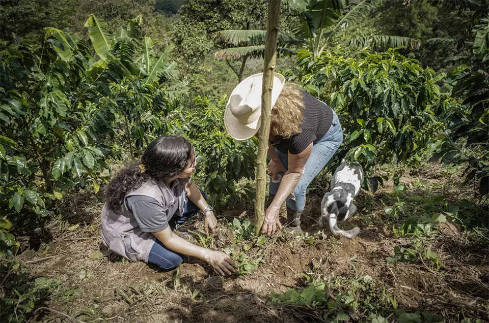
Acorn, developed by Rabobank with partners like Solidaridad, is a carbon finance program for smallholder agroforestry supported by a digital monitoring, reporting and verification (MRV) system that uses remote sensing, modelling and field data to verify carbon removals. Projects have been implemented across Africa, Latin America, and Asia, often on small farms (0.1–10 ha) where farmers integrate trees into crops like coffee or cocoa. The system takes a hybrid MRV approach, combining satellite imagery, AI and sometimes LiDAR with field data obtained from local partners in order to track tree growth and biomass increase over time. Measurements are converted into carbon removal units (CRUs) with monitoring conducted continuously rather than through one-off audits. Credits are certified under the Plan Vivo and Verra standard, which ensures additionality, long-term commitments and community benefits. In Colombia, for example, coffee farmers have integrated shade-giving trees into their farms, with data from satellites enabling the low-cost measurement of tree-stored carbon. Farmers typically receive payments after a period of several years, once tree growth is detectable. One farmer sequestered +10 tonnes of CO2on three hectares of land, generating income alongside coffee production. By linking remote sensing, plot-level traceability and certification, Acorn scales agroforestry activities and channels carbon revenue (up to ~70 percent) directly back to farmers, while supporting land restoration (
Mangroves meet MRV in Kenya in one of the first voluntary blue carbon credit projects
Association for Coastal Ecosystem Services (ACES), Kenya Marine and Fisheries Research Institute (KMFRI), Plan Vivo Foundation, Kenya Forest Service (KFS)
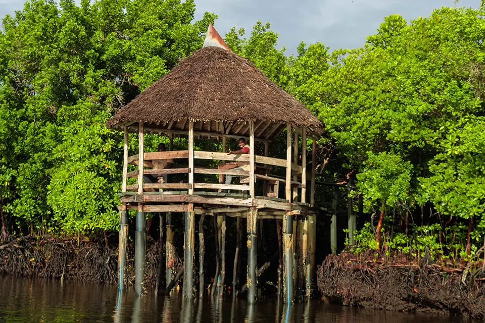
One of the clearest examples of how restoration technologies, carbon markets and community governance are converging is seen in Kenya’s pioneering blue carbon projects, Mikoko Pamoja and Vanga Blue Forest. Developed along Kenya’s southern coast, these mangrove restoration initiatives became the world’s first community-led blue carbon projects to finance conservation through carbon credits linked to coastal ecosystem restoration. They combine mangrove restoration and protection with increasingly sophisticated monitoring, reporting and verification (MRV) technologies. Carbon accounting integrates field-based biomass inventories, tree measurements, sediment carbon sampling, GPS and GIS mapping, satellite remote sensing, aerial imagery and intensive ground-truthing to estimate carbon storage and monitor ecosystem change over time. Community members play a central role by monitoring forest condition directly on the ground, while spatial technologies track canopy cover, degradation and restoration progress across coastal landscapes. These datasets are incorporated into Plan Vivo-certified MRV systems requiring long-term monitoring, third-party audits and transparent reporting before credits can be issued. Importantly, revenues from carbon credits support local priorities including schools, freshwater infrastructure, health care and community services. These projects therefore represent an early example of “digital blue carbon” systems in which geospatial monitoring technologies and local stewardship are combined to make coastal restoration both measurable and financeable (
Scaling forest carbon in Europe with an integrated platform
Pina Earth, Tree.ly

Europe’s forest carbon market has long been fragmented with small projects, different verification standards and limited access for landowners and buyers. The 2025 merger of companies Pina Earth and Tree.ly marks a shift toward a more scalable and integrated model. It will be Europe’s first integrated forest carbon platform, combining project development, digital monitoring, certification and sales into a single system. Operating across Austria, Germany, Switzerland, and parts of Central and Southern Europe, the platform manages over 80,000 hectares of forest and has issued more than 500,000 tonnes of certified carbon credits to around 100 corporate buyers. The platform’s core innovation lies in integrating software and automation into forest carbon projects. Pina Earth’s proprietary forest simulation technology models carbon sequestration and forest growth, while Tree.ly’s certification infrastructure supports multiple standards (e.g., ISO 14064-2) and methodologies such as improved forest management and afforestation. It connects landowners directly with buyers and streamlines certification across regions and project types. This means it also contributes to the strengthening of high-integrity credits aligned with emerging EU regulations (
The following collection of technologies is divided into three groups: Proven technologies have been on the market for some time and hence are well tested, Frontier technologies are available but relatively new, while Horizon technologies are close to being available but still under development.
Proven technology solutions
Web-enabled reforestation and tree-planting platform
Grow-Trees.com
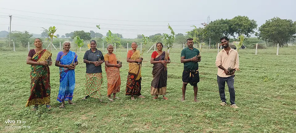
Grow-Trees.com is a web-enabled reforestation and tree-planting platform that lets individuals and organizations plant trees online and track impact. Grow-Trees also works as a project developer for the carbon credit projects at scale. Its core technology integrates a digital tree-planting and tracking system with an AI-driven Monitoring, Reporting and Verification (MRV) platform that leverages geospatial intelligence, satellite-based vegetation indices, and machine learning to monitor restoration projects. Interactive dashboards visualize project boundaries, vegetation health, and changes over time, while geospatial tools support individual tree tracking, predictive modelling, and control-site comparisons to assess ecological trends and project outcomes. Together, these capabilities enable data-driven decision-making, automated reporting, and transparent, evidence-based monitoring of restoration efforts.
Technological maturity: Proven
Contracting type: For service contract
Technology level: Medium
Place of origin: India
Availability: India, Tanzania, Uganda, Indonesia
Contact: WIPO GREEN Database
Online tree plantation platform powered by geotagging and blockchain
SankalpTaru Foundation
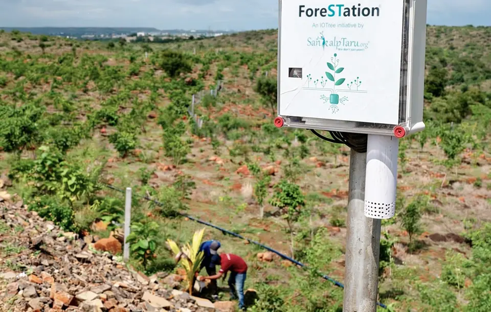
SankalpTaru is an IT-enabled environmental NGO that uses a blend of digital and field technologies to enhance transparency, monitoring, and ecological outcomes in tree planting. Each planted sapling is geo-tagged and given a unique digital identity with species, location, and growth data captured. This information is secured on blockchain (via Airchains.io) to create immutable, tamper-proof records of every tree to boost donor confidence and prevent fraud. The organization uses ForeSTation/IoTree, a proprietary in-house IoT system for real-time soil and environmental parameter monitoring, alongside drone seed bombing for high-elevation terrain and AI-driven species selection These technology layers support better survival rates, smarter interventions, and transparent reporting of environmental impact.
Technological maturity: Proven
Contracting type: For service contract
Technology level: Medium
Place of origin: India
Availability: India
Contact: WIPO GREEN Database
Reforestation management platform
Land Life Company
Land Life technology integrates science, data, automation and field innovations to scale nature-based reforestation. It uses proprietary analysis and prediction models to evaluate sites, forecast carbon capture and determine the optimal mix of native species to fit local conditions. During planting, innovations, such as tree seeding robots, smart-coated seeds and advanced planting techniques, improve speed, survival and resilience. After planting, monitoring combines ground, aerial and satellite data feeding a global database that tracks tree growth, health, survival rates and ecosystem outcomes. This data-driven loop continuously improves design and delivery, while dashboards allow partners to view project impact.
Technological maturity: Proven
Contracting type: For service contract
Technology level: High
Place of origin: Kingdom of the Netherlands
Availability: Worldwide
Contact: WIPO GREEN Database
Aerial ecosystem restoration system
AirSeed Technologies
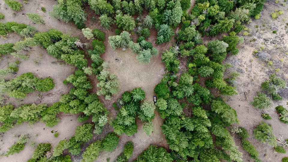
AirSeed Technologies is an Australian aerial ecosystem restoration company. It combines heavy-lift drones, AI-driven planning, proprietary seed pod biotechnology and digital project management to scale reforestation and land rehabilitation. Its patented seed pods are engineered with nutrients, microbial amendments and protective coatings to boost germination, reduce predation and adapt to varied soils and climates. Custom drones fly autonomously along optimized GPS flight paths and plant the seed pods precisely across remote, steep or fragile landscapes at rates far quicker and more cost-effective than manual planting. The company’s Grovia digital platform integrates ecological assessments, species selection, optimized planting plans and real-time monitoring to improve decision-making and track restoration outcomes.
Technological maturity: Proven
Contracting type: For service contract
Technology level: High
Place of origin: Australia
Availability: Australia
Contact: WIPO GREEN Database
Carbon management and advisory platform
Carbon Direct
Carbon Direct is a science-driven carbon management and advisory platform that evaluates, rates and guides investment into high-quality forest and ecosystem restoration carbon projects, helping assess whether they meet scientific quality criteria and are likely to deliver durable climate and biodiversity benefits. The platform combines climate science, risk analysis and carbon market expertise to support corporate and governmental clients in sourcing verified carbon removal solutions, conducting due diligence and developing net-zero strategies. Carbon Direct plays a key role in connecting buyers to credible nature-based and engineered carbon removal projects.
Technological maturity: Proven
Contracting type: For service contract
Technology level: High
Place of origin: United States
Availability: Worldwide
Contact: WIPO GREEN Database
Frontier technology solutions
Forest restoration intelligence platform
MORFO
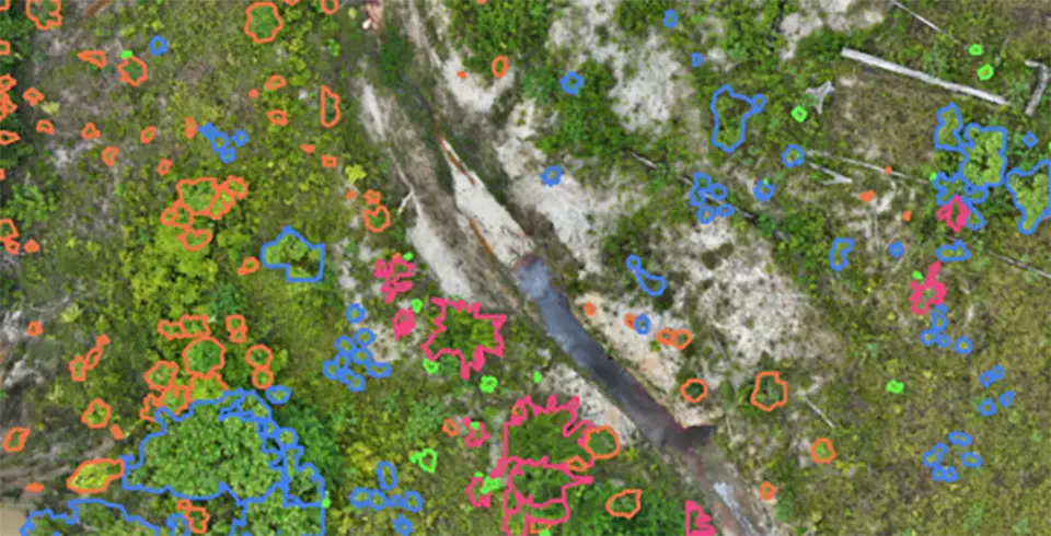
MORFO is a science-driven forest restoration platform combining AI, drone technology and ecological methods to restore degraded lands at scale. Its Forest Intelligence system uses satellite and aerial imagery, soil and vegetation diagnostics, and AI-driven models to identify optimal restoration areas, design planting strategies and forecast ecosystem recovery. The Forest Operations component deploys drones and proprietary seedpods to plant native species efficiently, while protecting young seedlings. Finally, Forest Performance continuously monitors restoration outcomes using drones, satellite data and AI analytics, tracking biodiversity, biomass and tree survival, while providing dashboards for transparent reporting.
Technological maturity: Frontier
Contracting type: For service contract
Technology level: High
Place of origin: France
Availability: Latin America and tropical regions
Contact: WIPO GREEN Database
Biotech-enabled ecosystem restoration platform with digital field monitoring
Viridis Terra International
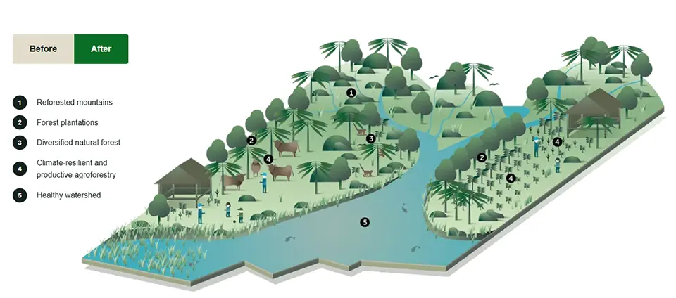
Viridis Terra’s Integrated Forest Landscape Restoration (IFLR)® is an ecosystem restoration model. It combines biotechnologies, digital monitoring and scalable field systems to restore degraded forests and agroforestry landscapes with ecological and economic benefits. Advanced biotechnologies include proprietary bioformulations (Sylven®, Microlignum®) that increase both seed germination and plant establishment rates, specialized out-planting substrates (Sustrato®) for higher survival and biofertilizers (TreeBoost®) with microbial inoculants that boost growth in degraded soils. It also uses phenomics and genomic tools, genetic marker-assisted selection and micropropagation to produce high-quality, genetically diverse plant stock. On the digital side, Viridis Terra operates a centralized platform for tracking field operations, carbon capture data, land management models, contracts and SDG progress.
Technological maturity: Frontier
Contracting type: For service contract
Technology level: High
Place of origin: Canada
Availability: Latin America and Caribbean
Contact: WIPO GREEN Database
Blockchain-enhanced digital biodiversity credit issuance and tracking platform
Terrasos
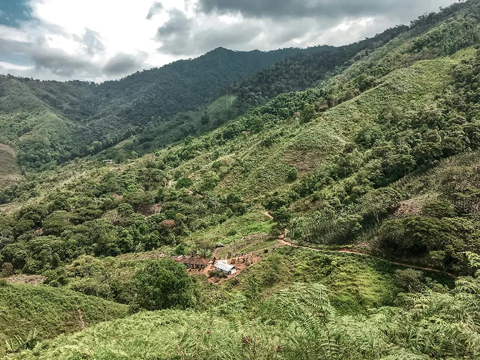
Terrasos has developed a protocol for issuing high-integrity biodiversity credits called Tebu® – digital units that represent a conserved or restored ecosystem area under long-term (20+ year) protection. The Terrasos Protocol defines how these Voluntary Biodiversity Units are quantified, monitored and released based on ecological and management milestones. Projects meeting performance standards are independently validated and listed in official registries. To strengthen traceability and prevent double-counting, Terrasos integrates digital ledger technology (blockchain) into Tebu’s traceability framework, embedding credit ownership and history on an immutable platform. This digital backbone supports transparent reporting and market confidence in biodiversity outcomes.
Technological maturity: Frontier
Contracting type: For service contract
Technology level: High
Place of origin: Colombia
Availability: Latin America
Contact: WIPO GREEN Database
Reforestation automation technology
Flash Forest
Flash Forest uses advanced reforestation automation technology combining drones, AI, GIS, engineering, silviculture and plant science to rapidly restore forests at scale. The system begins with machine learning and GIS mapping to identify optimal planting locations. Specialized heavy-lift drones then deploy proprietary biodegradable seedpods – each containing nutrients, water-retention additives and beneficial microbes – directly into the soil. This aerial approach enables planting that is far quicker and more efficient than traditional methods, including in remote or post-wildfire terrain, while bypassing energy-intensive nurseries. Flash Forest also uses automated manufacturing to mass produce seedpods and supports field operations with complete drone kits and pilots.
Technological maturity: Frontier
Contracting type: For service contract
Technology level: High
Place of origin: Canada
Availability: Northern America
Contact: WIPO GREEN Database
Environmental monitoring and verification platform
Treefera
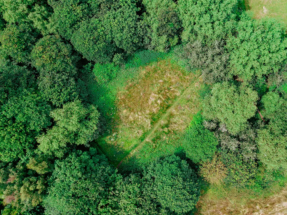
is an AI-powered environmental intelligence platform combining satellite imagery, drone, sensor, weather and ground data to monitor ecosystems, land use and supply chain origins. Using machine learning and scientific modelling, it converts environmental data into real-time insights on vegetation, deforestation, soil conditions, carbon stocks and ecological risks. The platform specializes in mapping the “first mile” of agricultural and forestry supply chains – where environmental and social risks are often least visible – helping organizations assess and demonstrate whether commodities are sourced from areas associated with deforestation or land degradation risks. Treefera also supports forest carbon and nature-based projects by providing transparent data for monitoring impact, assessing risk, validating carbon claims, and meeting sustainability and regulatory compliance requirements.
Technological maturity: Frontier
Contracting type: For subscription or service contract
Technology level: High
Place of origin: United Kingdom
Availability: Worldwide
Contact: WIPO GREEN Database
Blockchain-enabled digital infrastructure for forest carbon projects
Open Forest Protocol
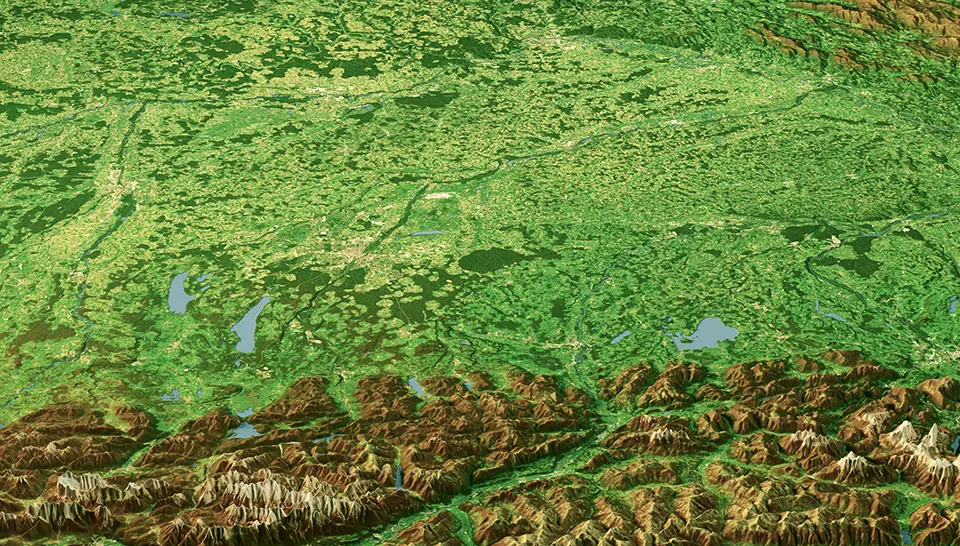
Open Forest Protocol (OFP) is a digital infrastructure for forest carbon projects that modernizes monitoring, reporting and verification (MRV) using advanced digital tools and decentralized technology. It combines mobile and web apps with satellite imagery, drones, AI analytics and LiDAR to improve the accuracy of forest and carbon monitoring. Project data is stored and verified on the NEAR Protocol – a decentralized blockchain system that creates secure, transparent and tamper-resistant digital records. Verified by a global network of independent validators, the system can mint carbon credits on-chain with embedded project data, geolocation and verification history.
Technological maturity: Frontier
Contracting type: For subscription or service contract
Technology level: High
Place of origin: Switzerland
Availability: Worldwide
Contact: WIPO GREEN Database
Carbon market platform combining digital MRV and blockchain technology
CYNK
CYNK is an end-to-end carbon market platform combining digital MRV (monitoring, reporting, verification), IoT sensors, satellite data and distributed ledger (blockchain) technology. It collects real-time environmental data from projects, verifies emissions reductions and converts them into tokenized carbon credits with a transparent audit trail. The platform then enables these credits to be financed, managed and traded through a built-in marketplace, aiming to reduce costs, increase transparency and connect projects directly with global buyers.
Technological maturity: Frontier
Contracting type: For subscription or service contract
Technology level: High
Place of origin: Kenya
Availability: Africa
Contact: WIPO GREEN Database
Geospatial data platform for land restoration efforts
UNCCD
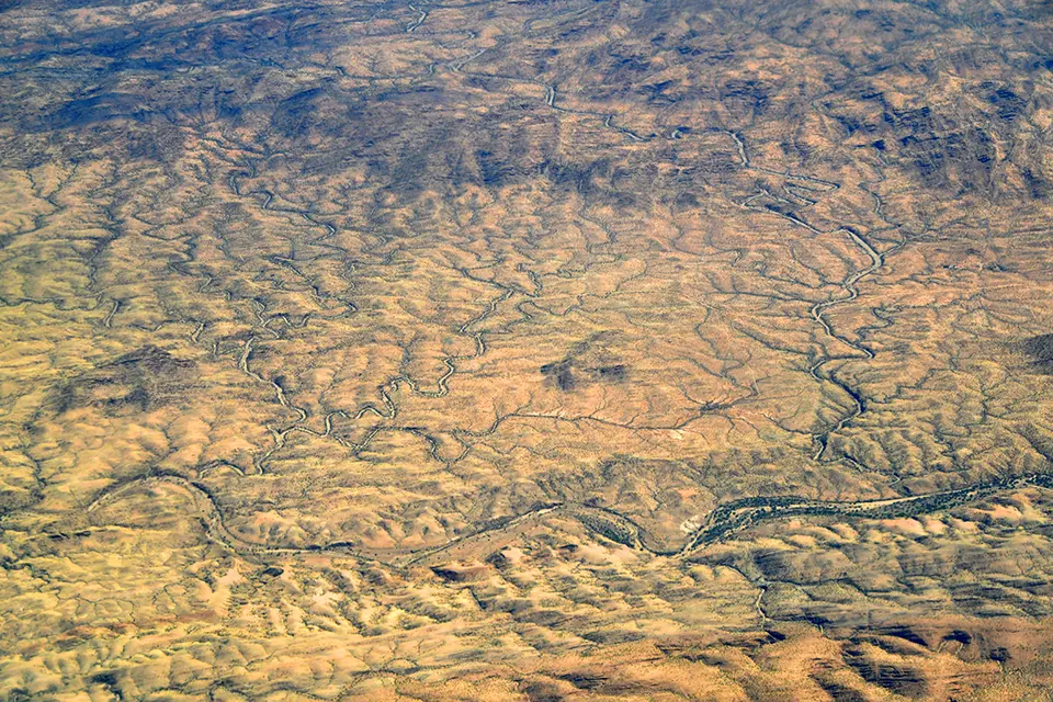
GeoGLI is a geospatial data platform built by the G20 Global Land Initiative to monitor and support global land restoration efforts. It works by aggregating large datasets – satellite imagery, environmental indicators and country-level reports – into an interactive, map-based system. Users can explore trends like land degradation, drought or restoration progress in near real time and generate custom visualizations or reports. The platform’s core function is decision support: it helps governments, researchers and NGOs identify priority areas for conservation or restoration by highlighting where ecosystems are either deteriorating or improving. It also tracks national commitments across global agreements (e.g., climate and biodiversity targets).
Technological maturity: Frontier
Contracting type: Open access platform
Technology level: High
Place of origin: Germany
Availability: Worldwide
Contact: WIPO GREEN Database
Open access ecosystem restoration data and monitoring platform
Restor

Restor is an open access, geospatial data platform that uses satellite imagery, ecological datasets and machine learning to map, monitor and analyze ecosystem restoration globally. Built on tools like Google Earth Engine, it aggregates high-resolution environmental data such as biodiversity, soil carbon, rainfall and land cover, turning it into location-specific insights for any piece of land. Users can upload their project data, which is then combined with these global datasets to track changes over time, assess restoration impact and compare outcomes across sites. The platform also connects projects to funders and collaborators.
Technological maturity: Frontier
Contracting type: Open access platform
Technology level: High
Place of origin: Switzerland
Availability: Worldwide
Contact: WIPO GREEN Database
Wildfire and landscape resilience intelligence platform
Vibrant Planet
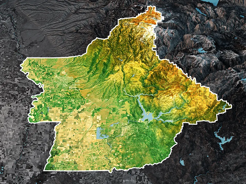
Vibrant Planet provides a data-driven decision-support platform designed to help governments, utilities and land managers reduce wildfire risk and improve ecosystem resilience. The technology combines satellite imagery, LiDAR and other geospatial data with AI and advanced wildfire modeling to create detailed maps of landscapes, vegetation and risk. It then simulates different land management scenarios, such as thinning or controlled burning, and predicts the impact on wildfire behavior, carbon storage, water and biodiversity. The platform helps users prioritize where to act and allocate budgets, and coordinate across stakeholders.
Technological maturity: Frontier
Contracting type: For subscription
Technology level: High
Place of origin: United States
Availability: United States
Contact: WIPO GREEN Database
Tech-enabled forest restoration and carbon removal company
re.green
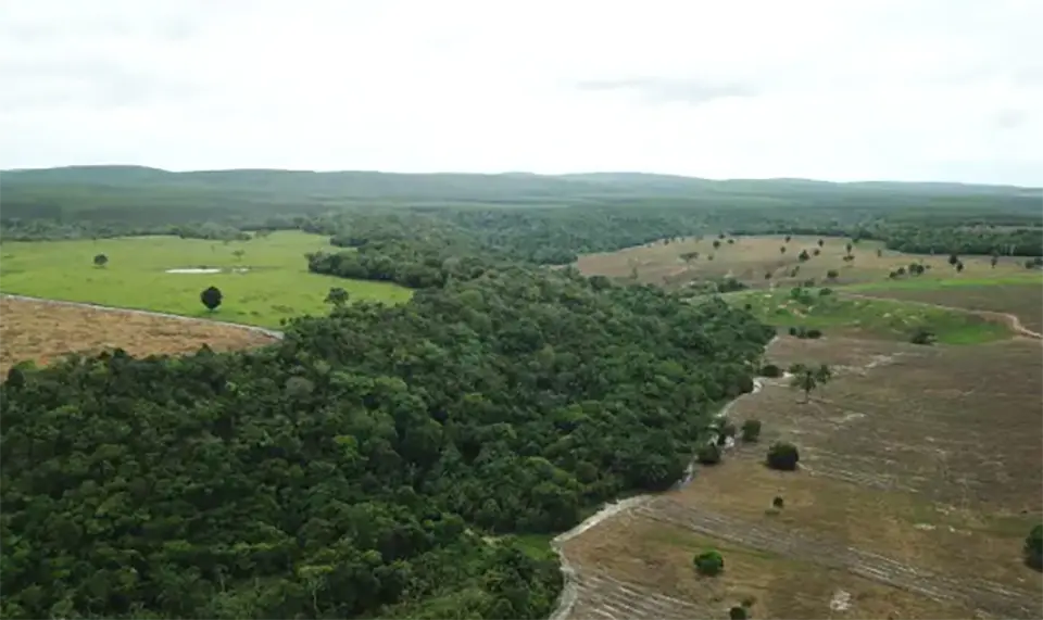
re.green uses a technology-enabled approach to restore degraded tropical forests at scale. Its platform combines satellite imagery, geospatial analytics and AI-driven modeling to identify priority areas for restoration and design optimal planting strategies. It integrates ecological data with operational data to guide species selection, planting density and long-term forest management. The system also monitors forest growth, carbon sequestration and ecosystem recovery over time using remote sensing and field data. This enables the generation of high-quality carbon credits and the tracking of biodiversity outcomes.
Technological maturity: Frontier
Contracting type: For service contract
Technology level: High
Place of origin: Brazil
Availability: Brazil
Contact: WIPO GREEN Database
Horizon technology solutions
AI-powered forest carbon and biodiversity MRV platform
Kanop, supported by the ESA
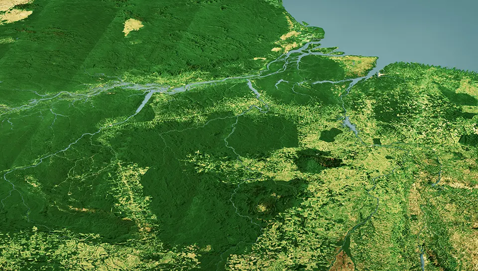
The Kanop AI-powered Forest Carbon and Biodiversity MRV Platform is an European Space Agency (ESA)-supported demonstration project developing a next-generation digital platform for measuring, reporting and verifying (MRV) nature-based restoration outcomes. The cloud-based platform combines AI with multispectral, radar and LiDAR satellite imagery to automatically estimate forest carbon stocks, tree species composition, canopy height, above- and belowground biomass, and biodiversity indicators. Designed to reduce the cost and complexity of conventional field-based monitoring, the platform generates standardized digital maps and automated MRV reports to support project developers, investors, consultants and regulatory reporting. By integrating multiple Earth observation datasets into a scalable software-as-a-service (SaaS) platform, the technology aims to improve the transparency, efficiency and credibility of carbon accounting, while supporting compliance with emerging sustainability regulations and voluntary carbon markets. The project is currently under development.
Technological maturity: Horizon
Contracting type: Under development
Technology level: High
Place of origin: France
Availability: Under development
Contact: WIPO GREEN Database
Next-generation framework for MRV of soil organic carbon
GMV Aerospace and Defence S.A.
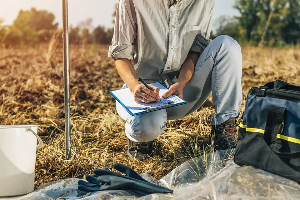
MRV4SOC (Monitoring, Reporting and Verification of Soil Organic Carbon and Greenhouse Gas Balance) is a Horizon Europe project developing a next-generation framework for monitoring, reporting and verifying (MRV) soil organic carbon and greenhouse gas balances to support carbon farming and voluntary carbon markets. Coordinated by GMV Aerospace and Defence S.A. (Spain), the project combines remote sensing, high-quality field measurements, ecosystem modeling and digital data integration to create a standardized Tier 3 MRV methodology capable of estimatingfull carbon budgets across diverse ecosystems. The framework accounts for above- andbelowground biomass, soil organic carbon, deadwood, litter and harvested woodproducts, while incorporating carbon and nitrogen cycles. Designed to improve theaccuracy, transparency and cost-effectiveness of soil carbon accounting, MRV4SOCaims to strengthen confidence in carbon credits and support the development ofrobust carbon farming markets.
Technological maturity: Horizon
Contracting type: Under development
Technology level: High
Place of origin: Spain
Availability: Under development
Contact: WIPO GREEN Database